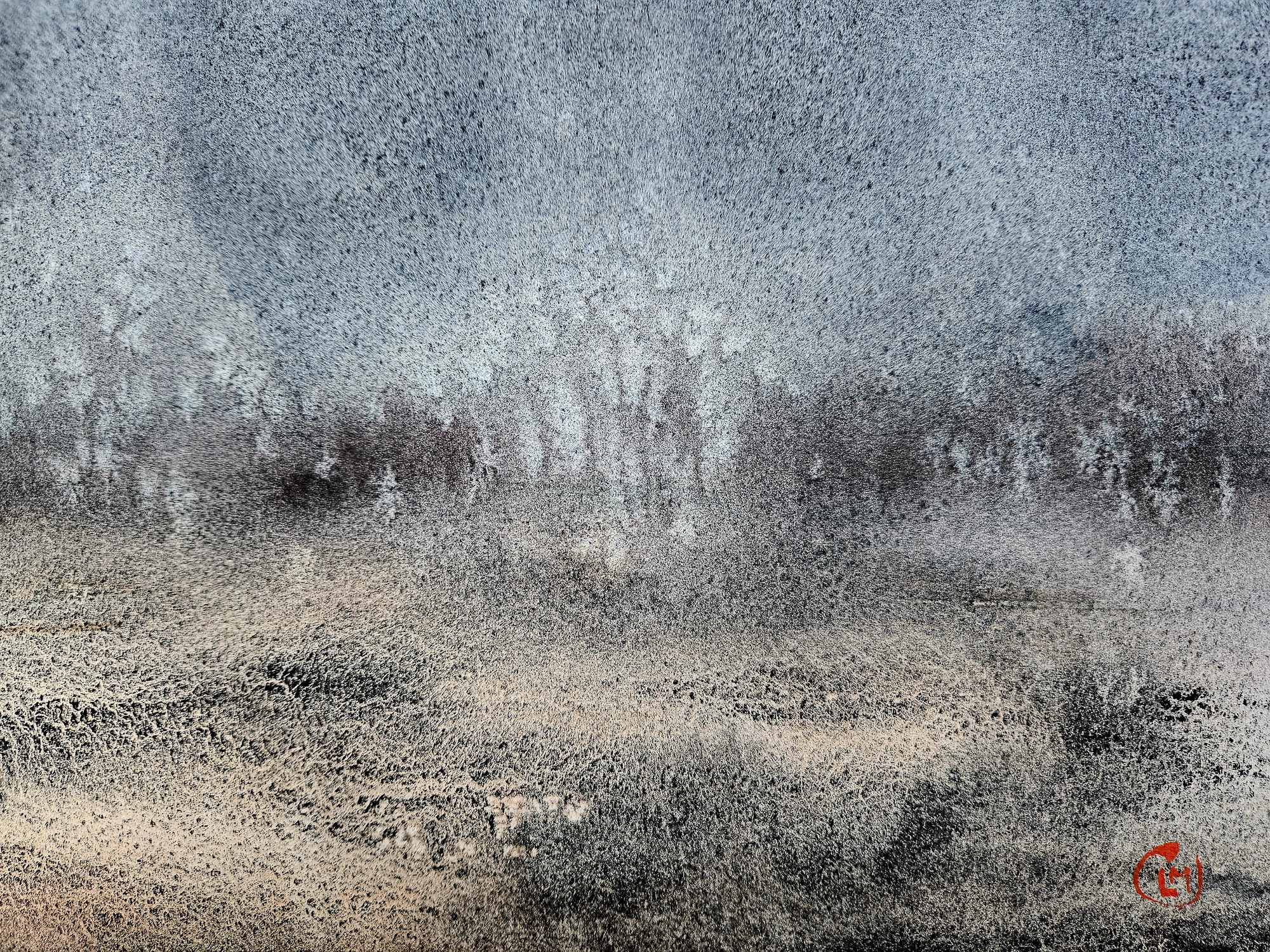
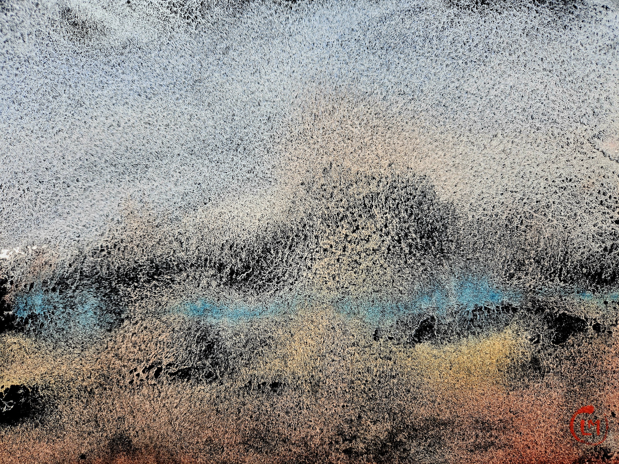
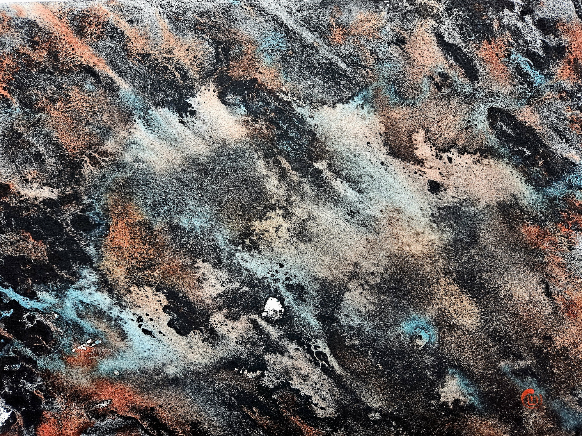
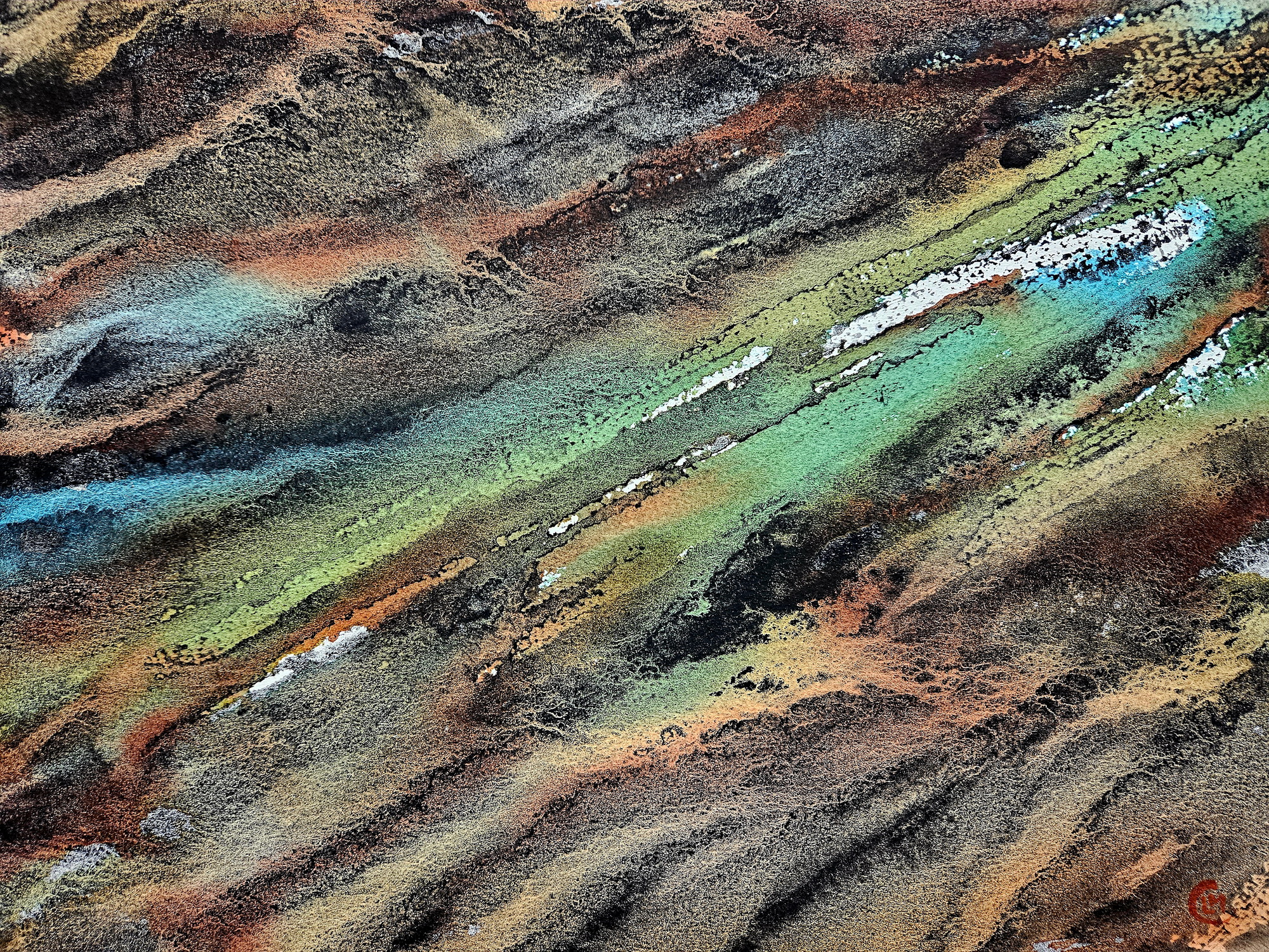
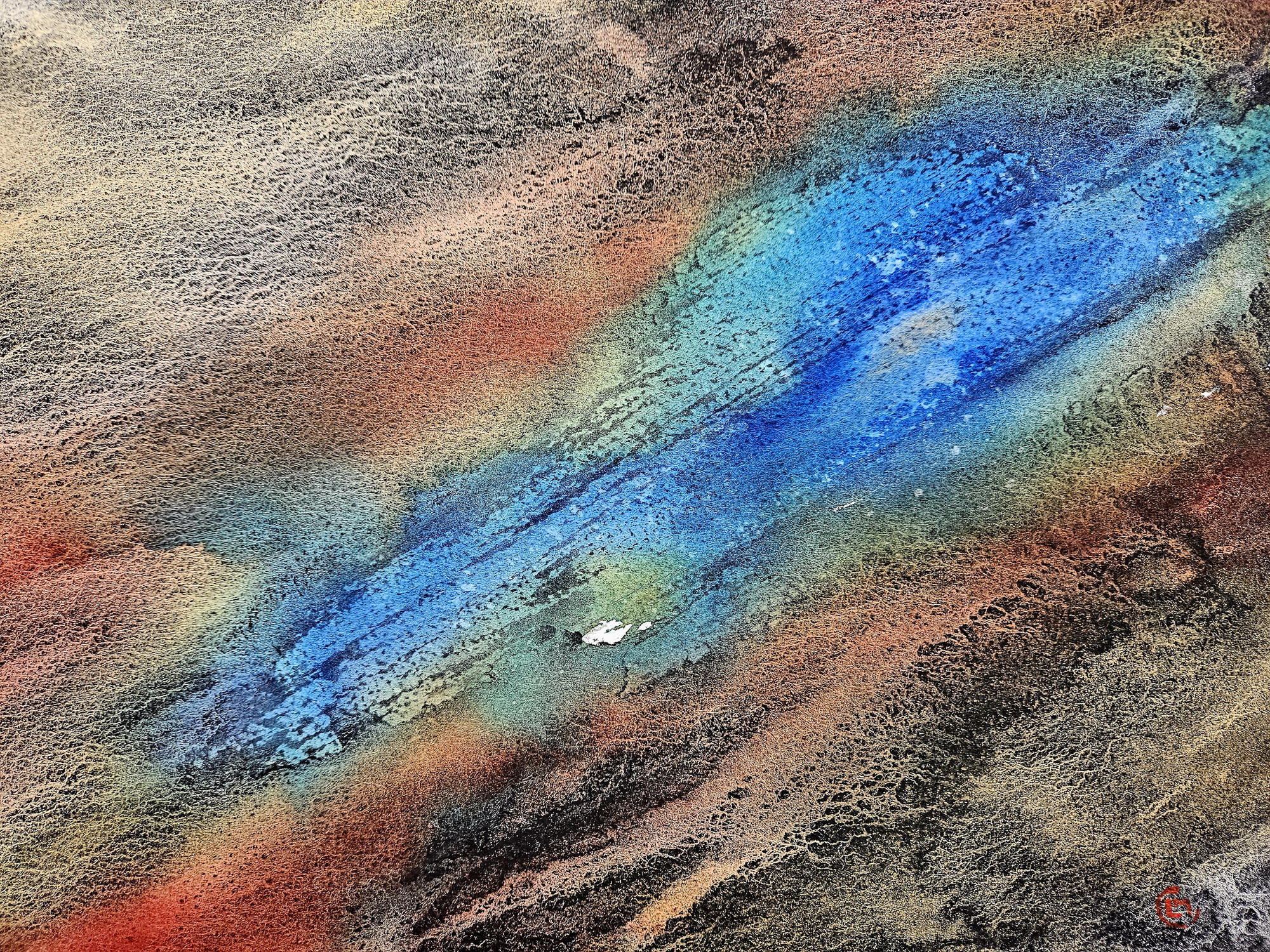
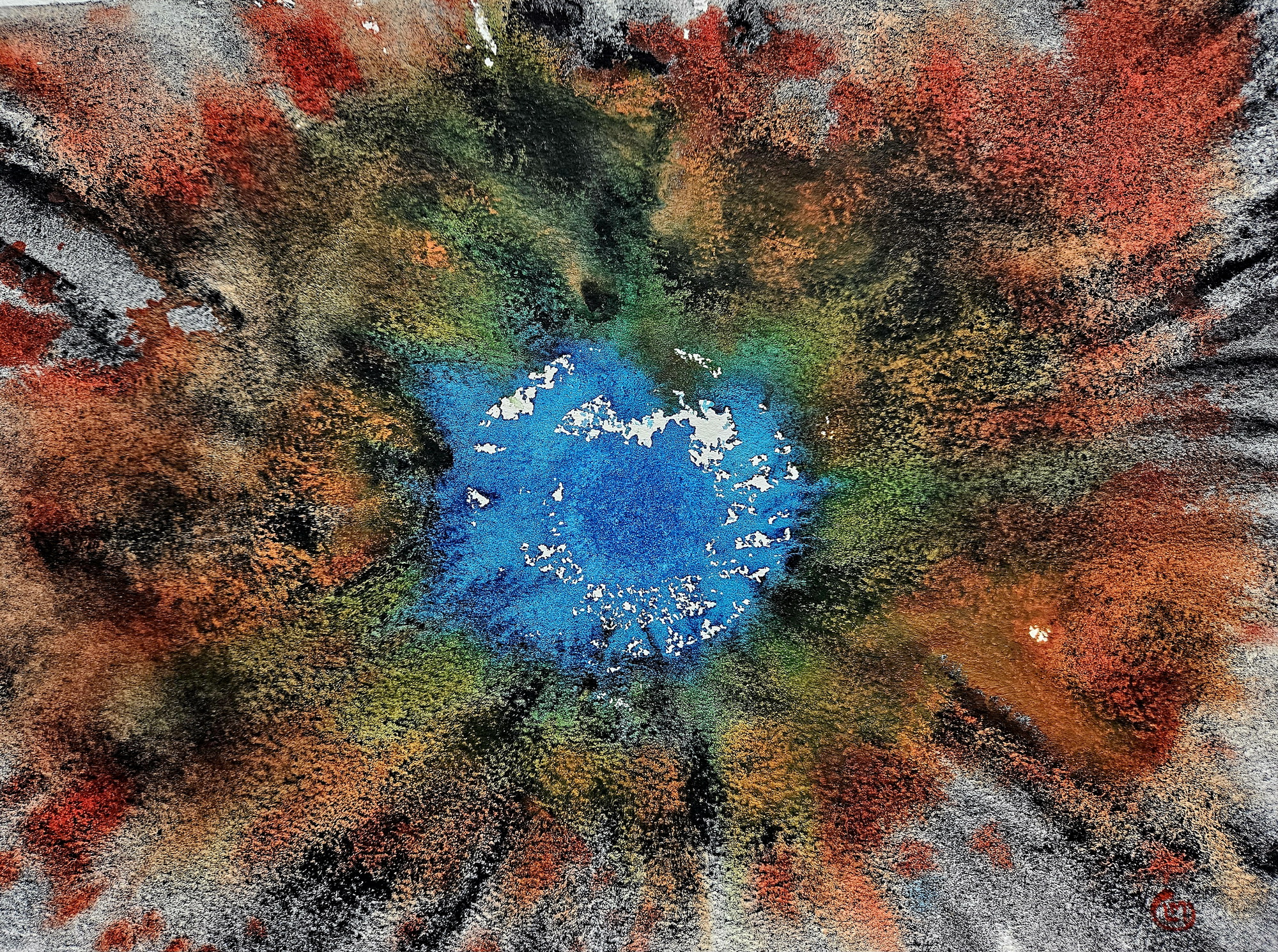
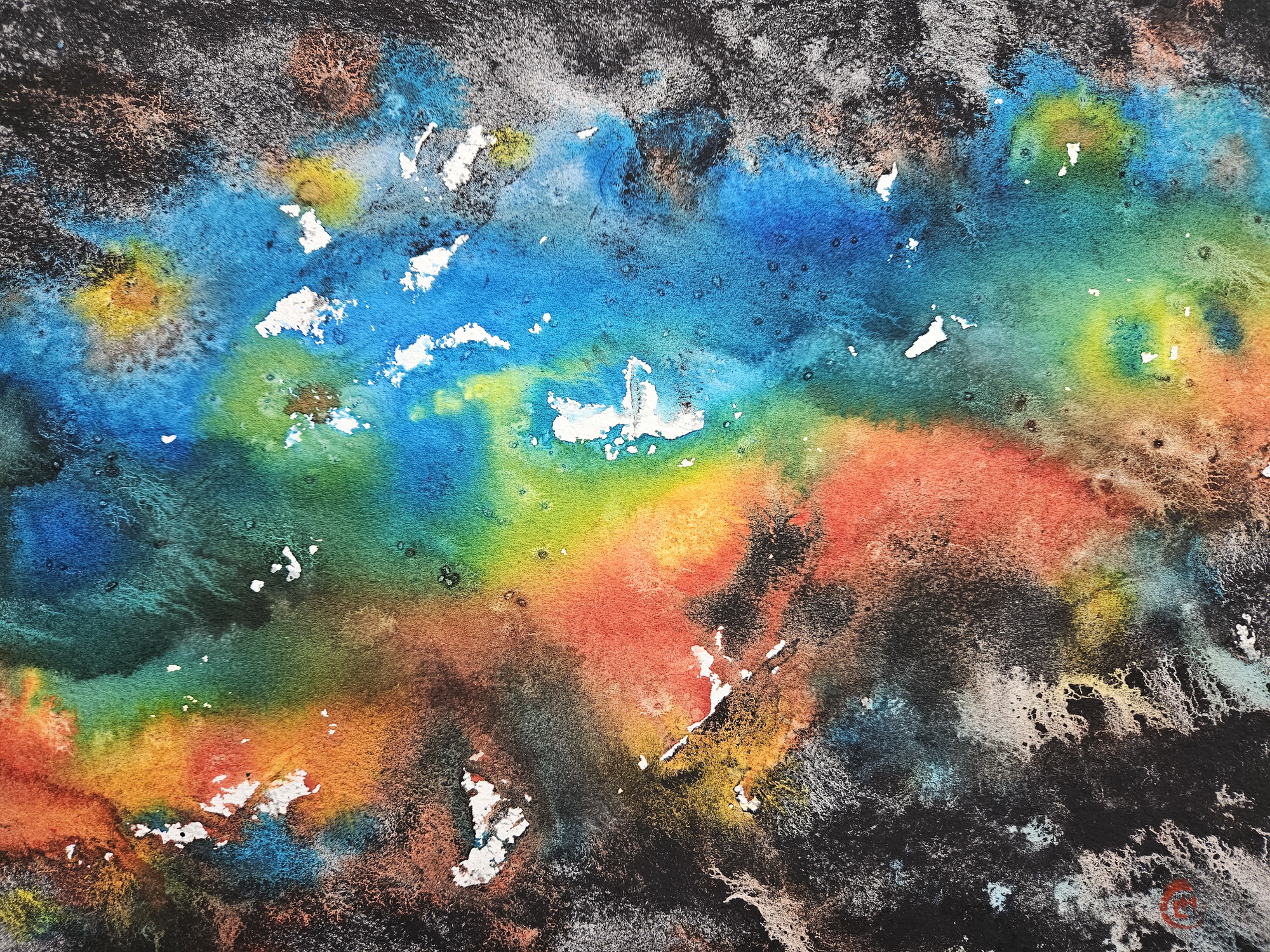
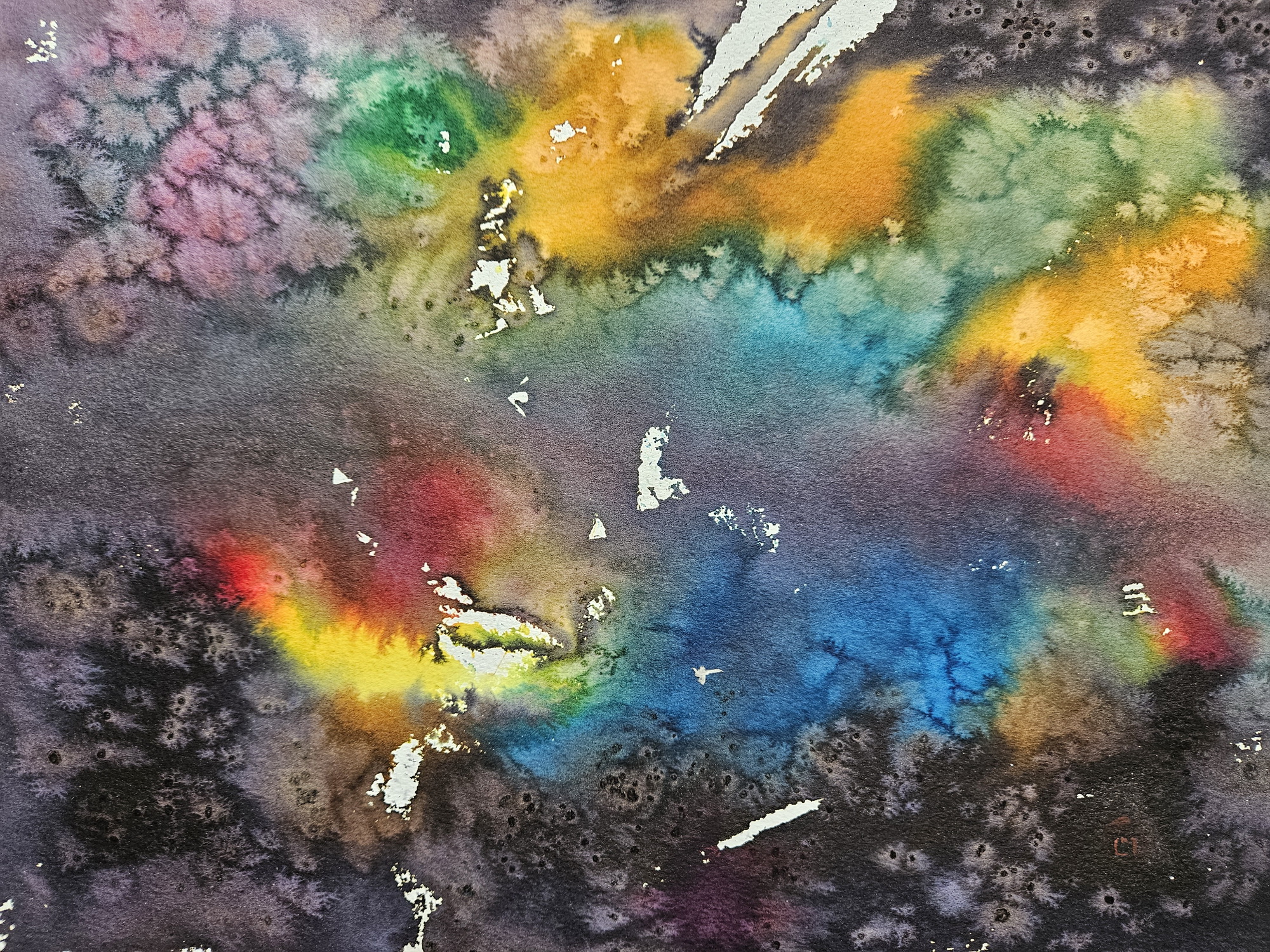
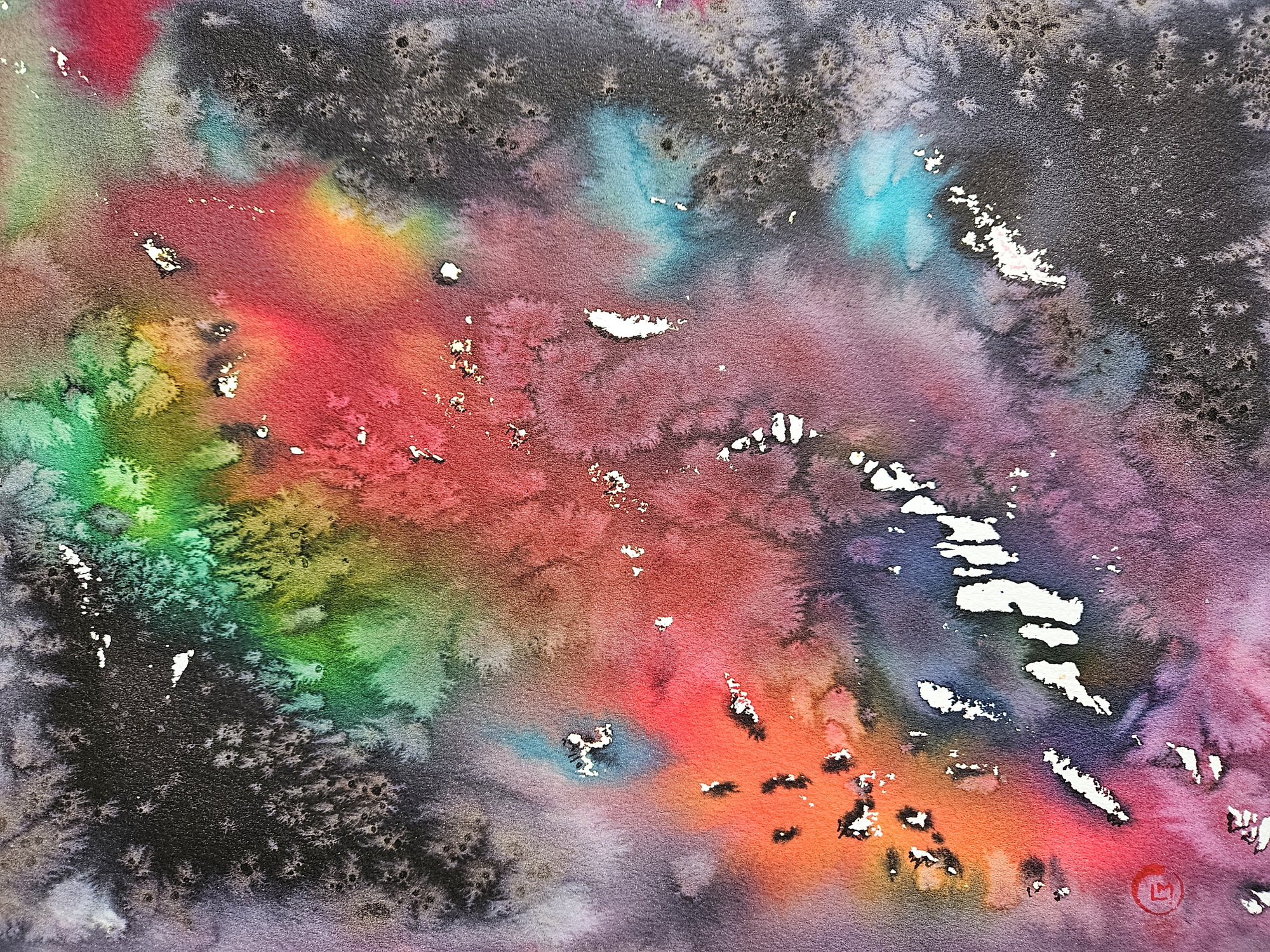
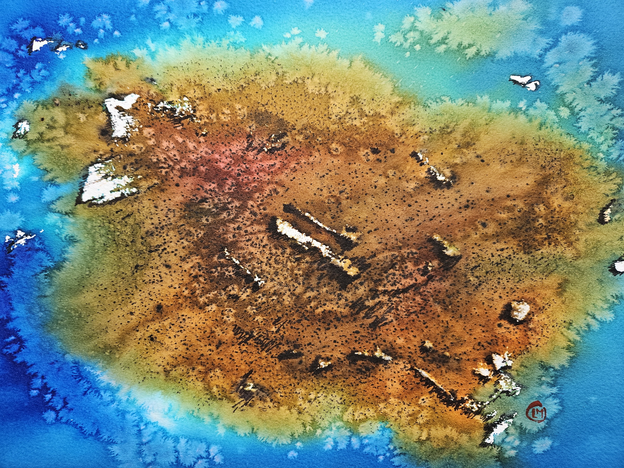
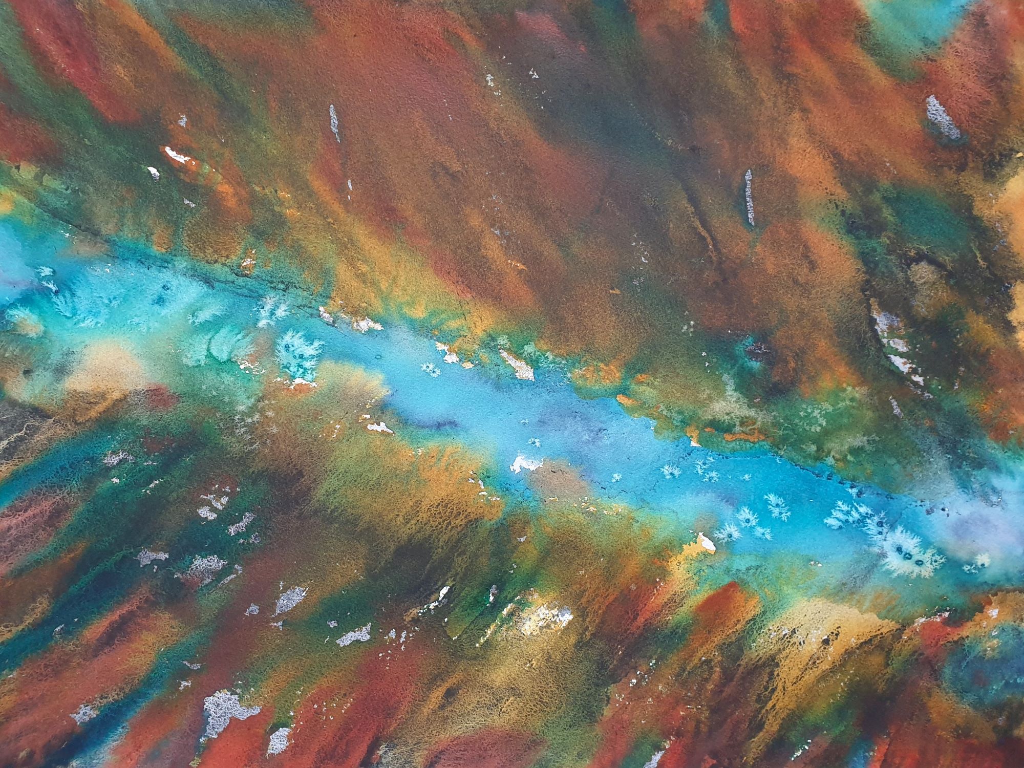
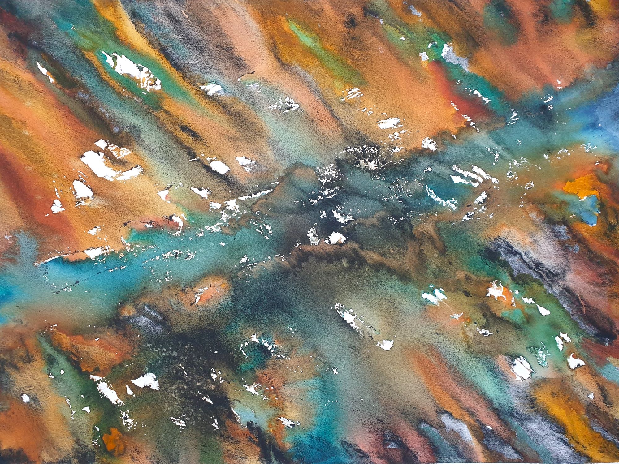
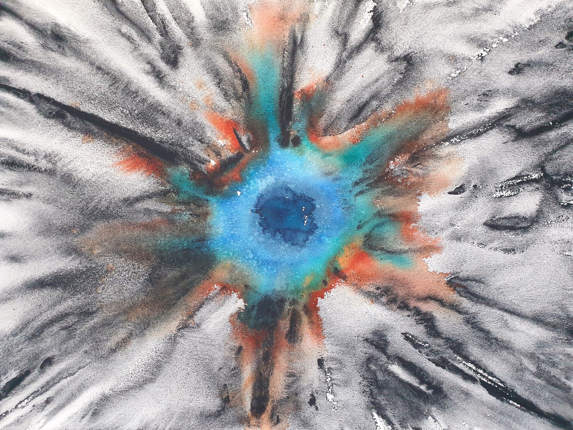
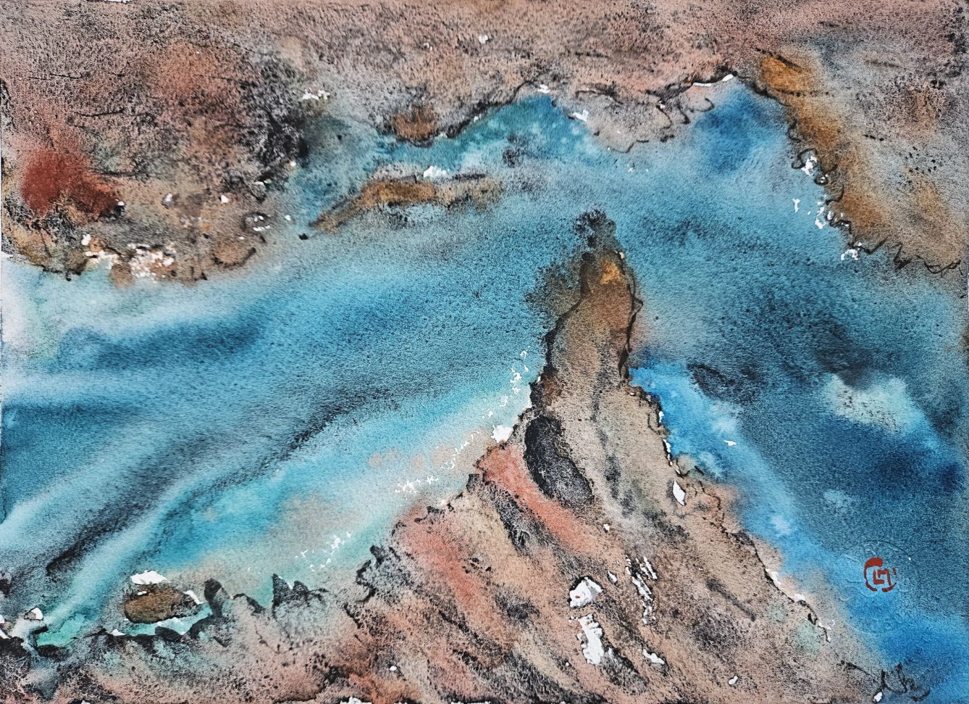
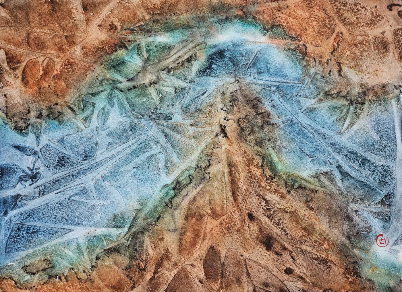
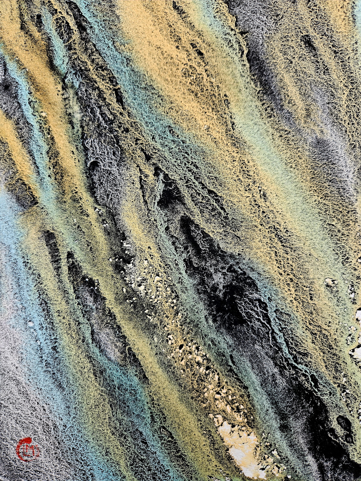
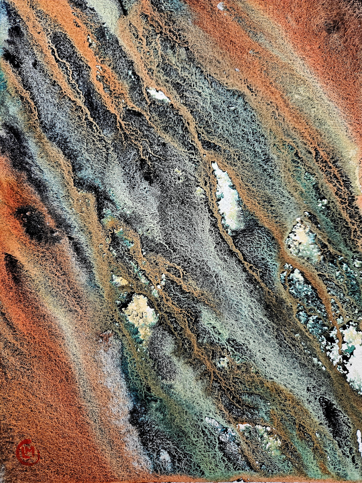
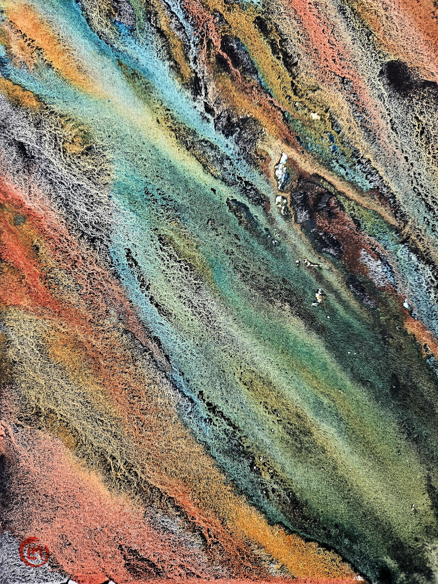
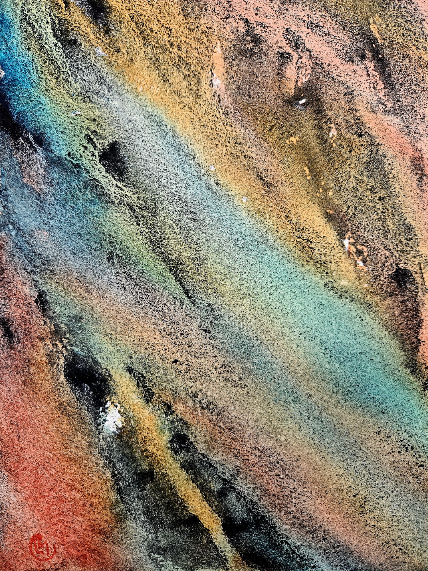
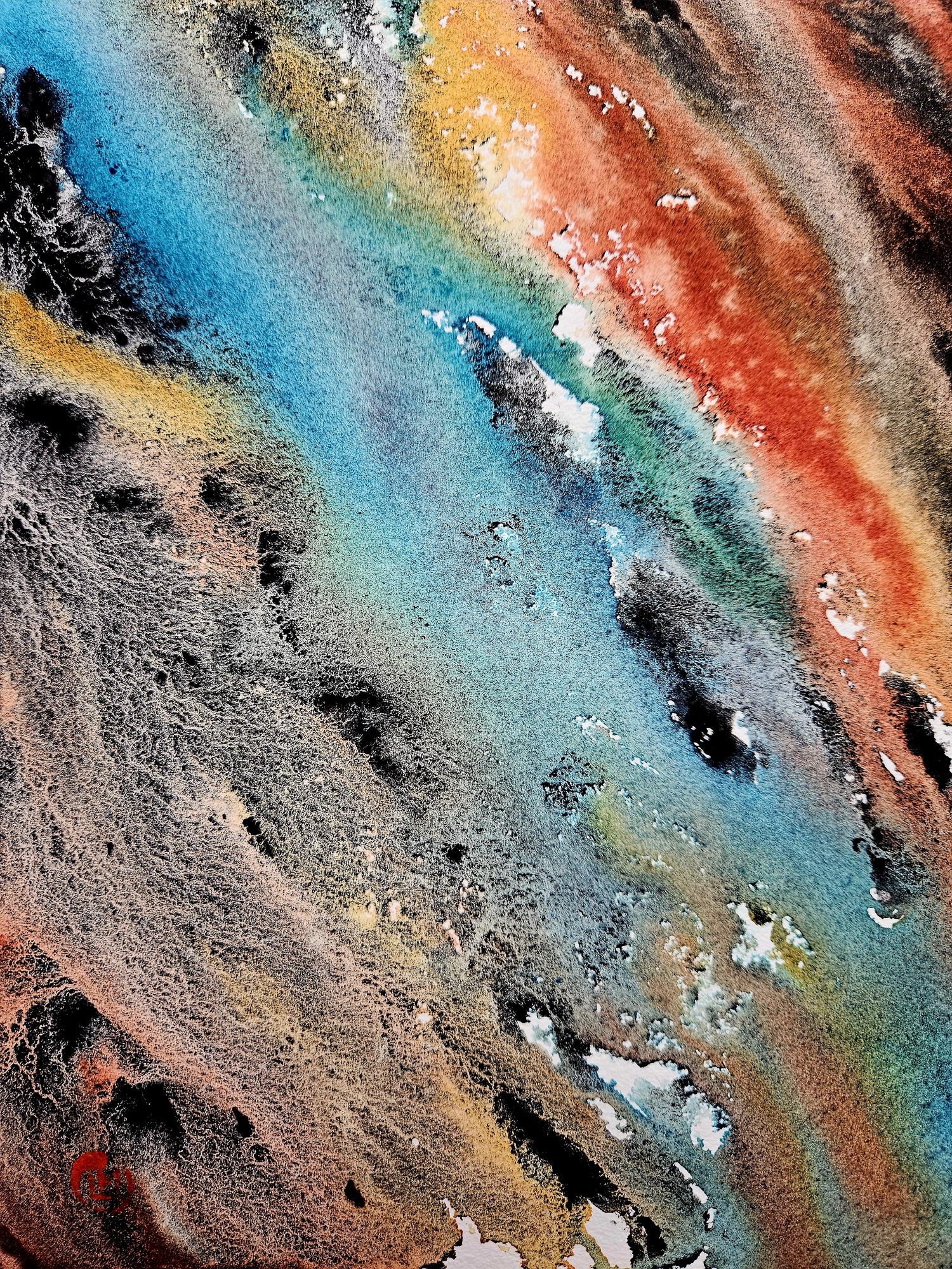
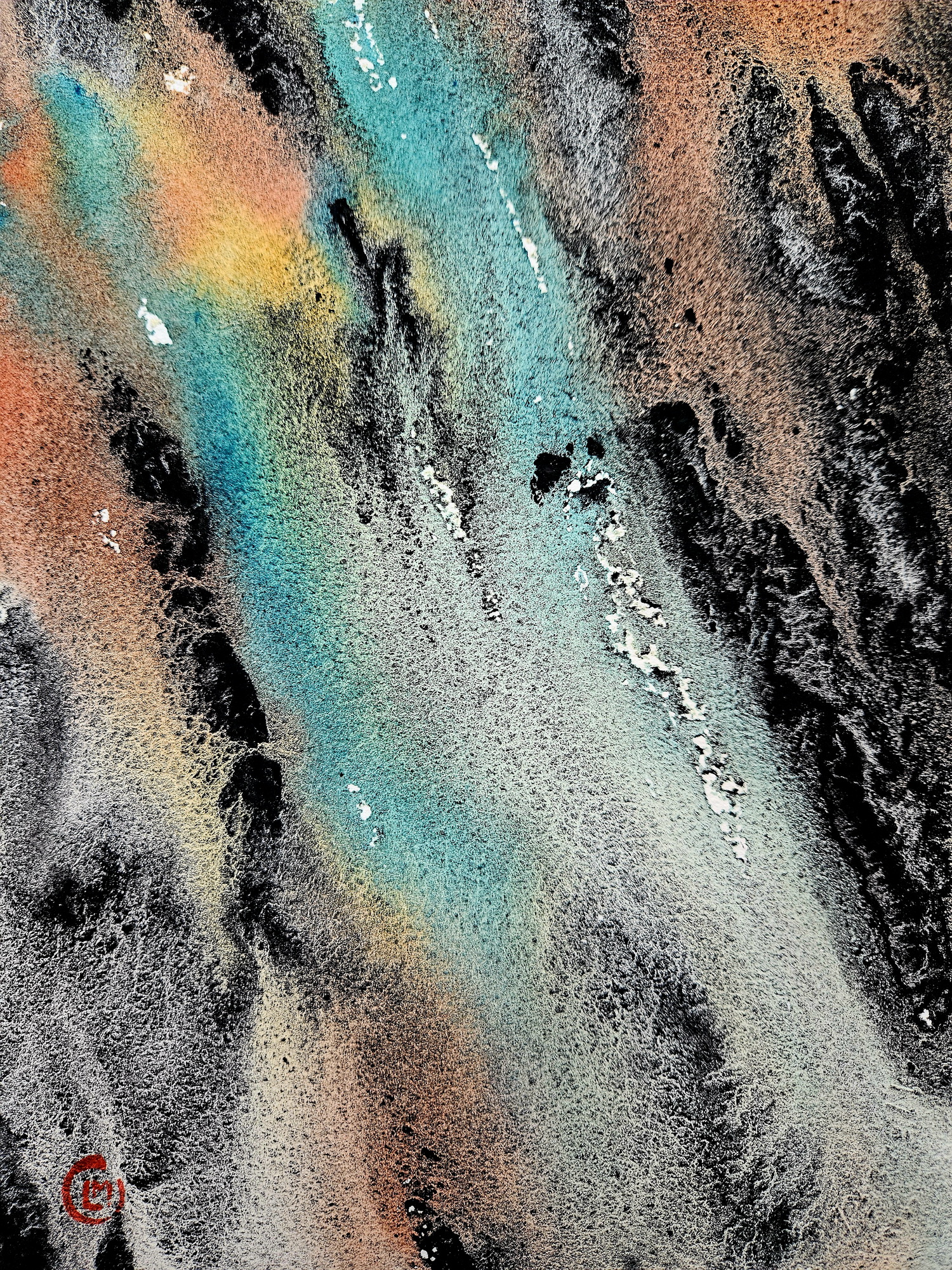
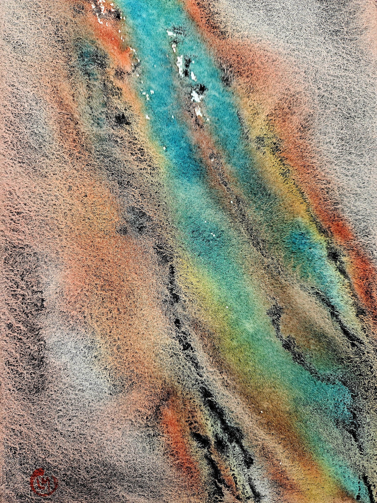
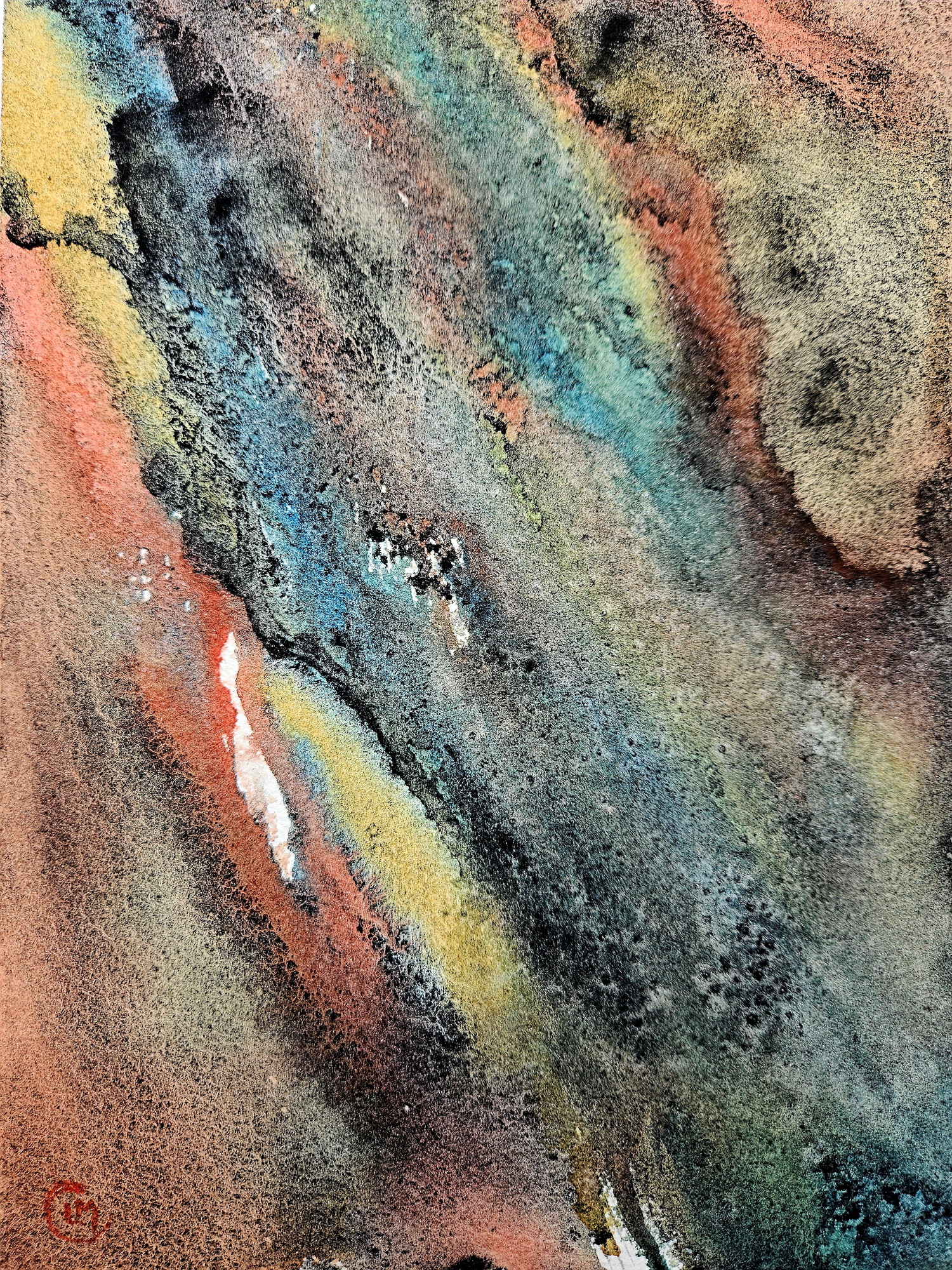
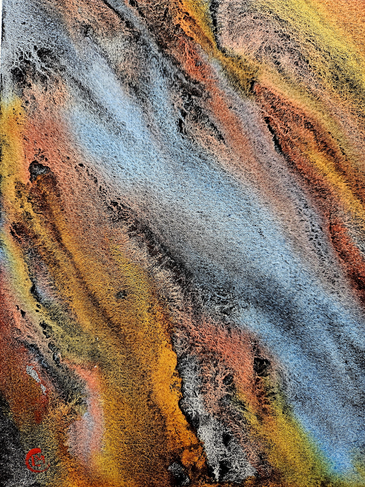
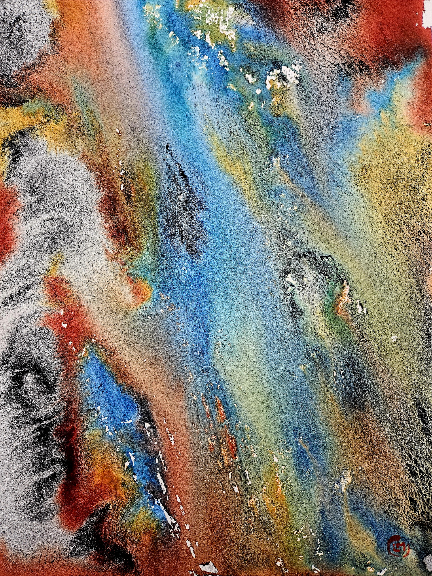
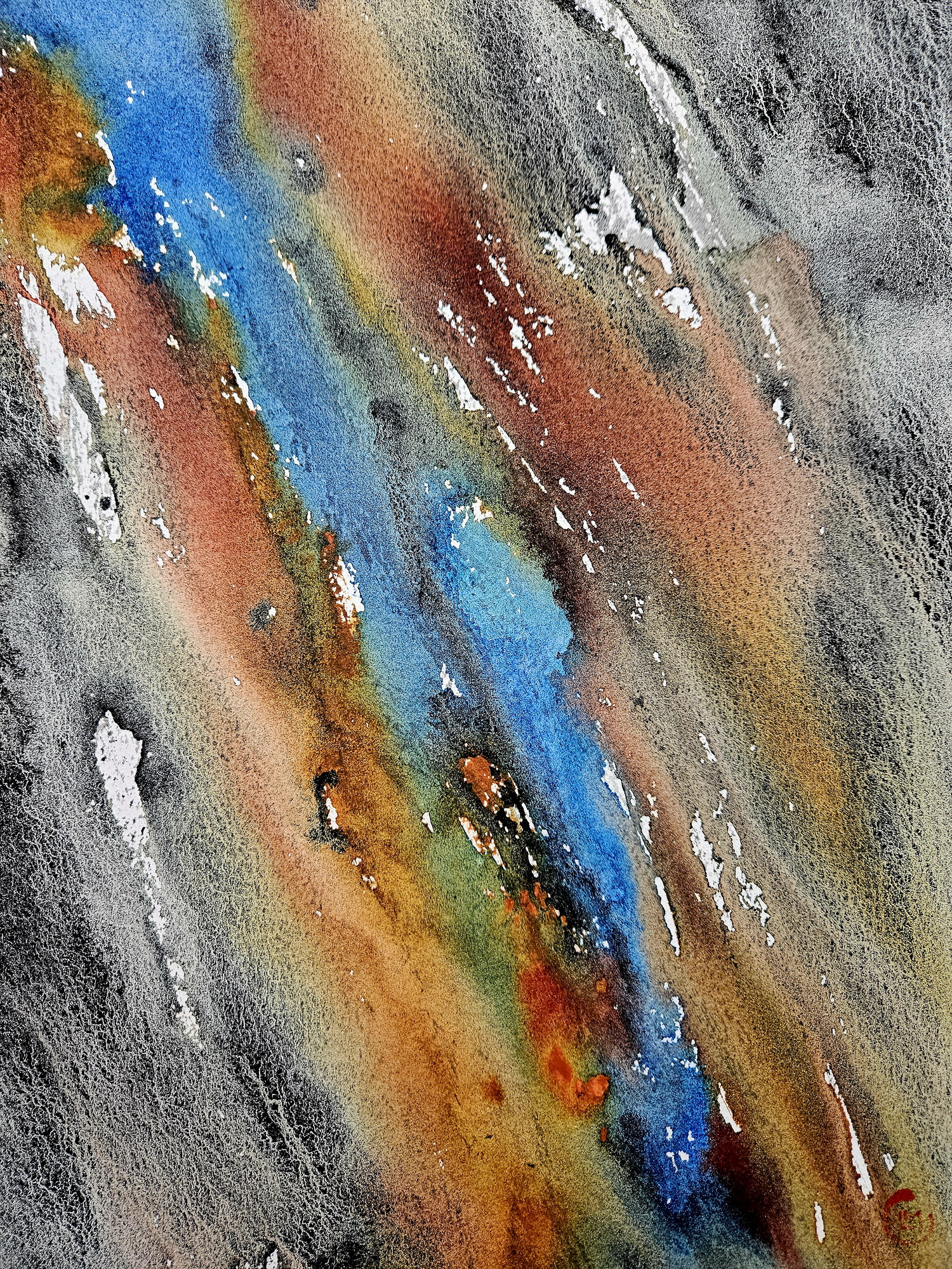
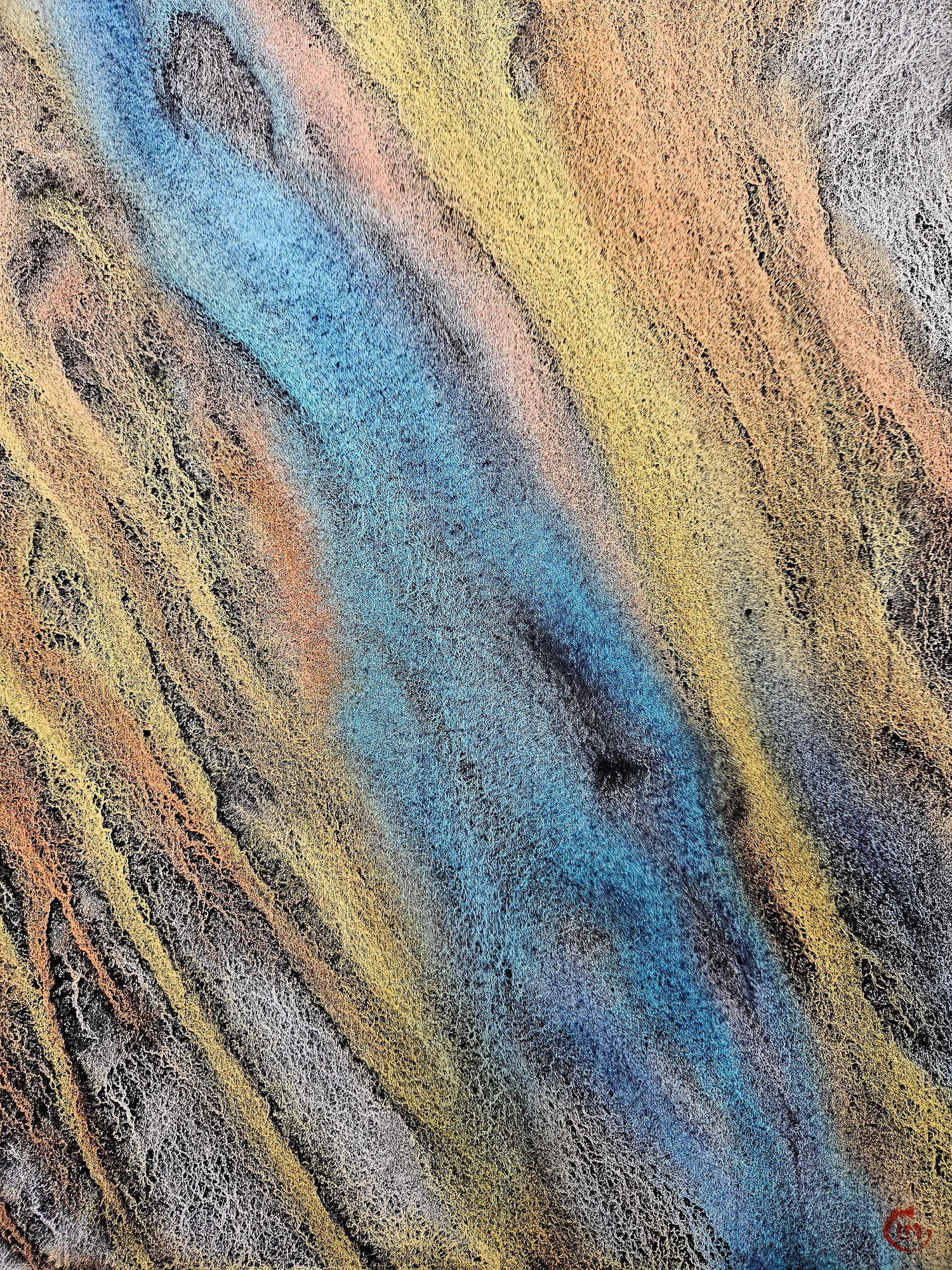
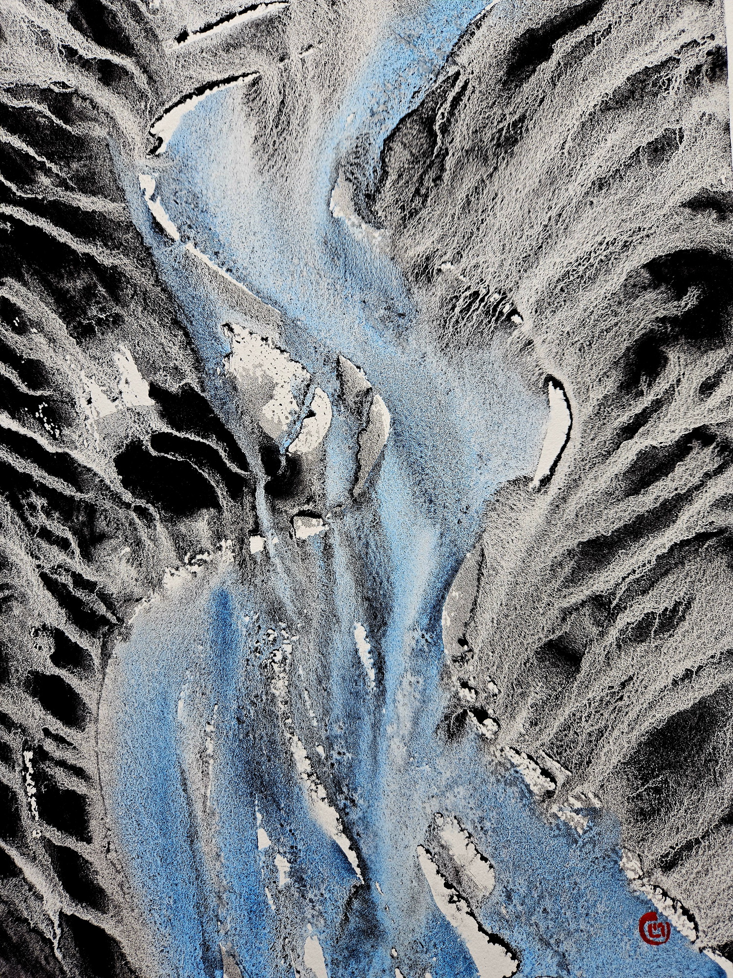
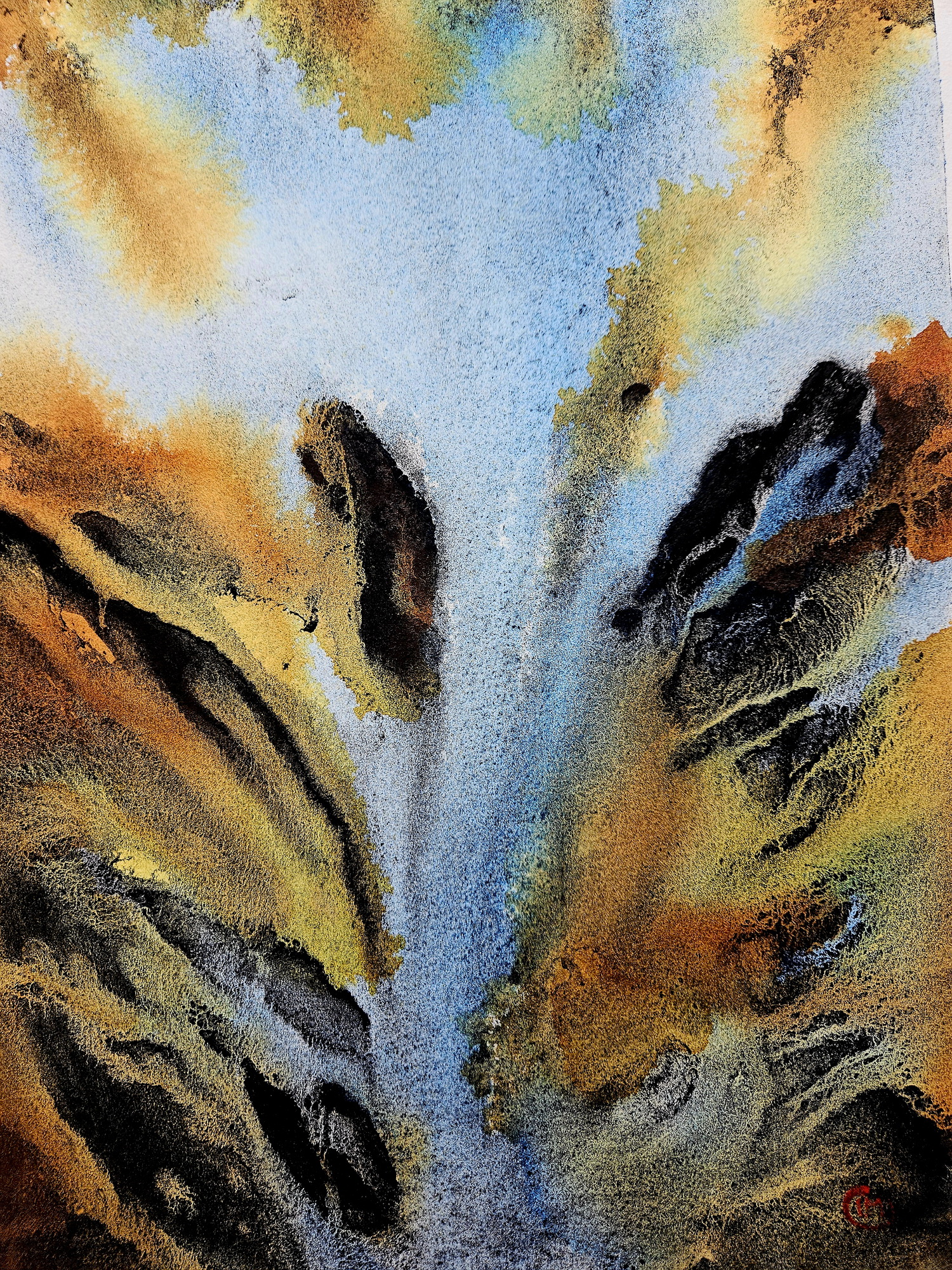
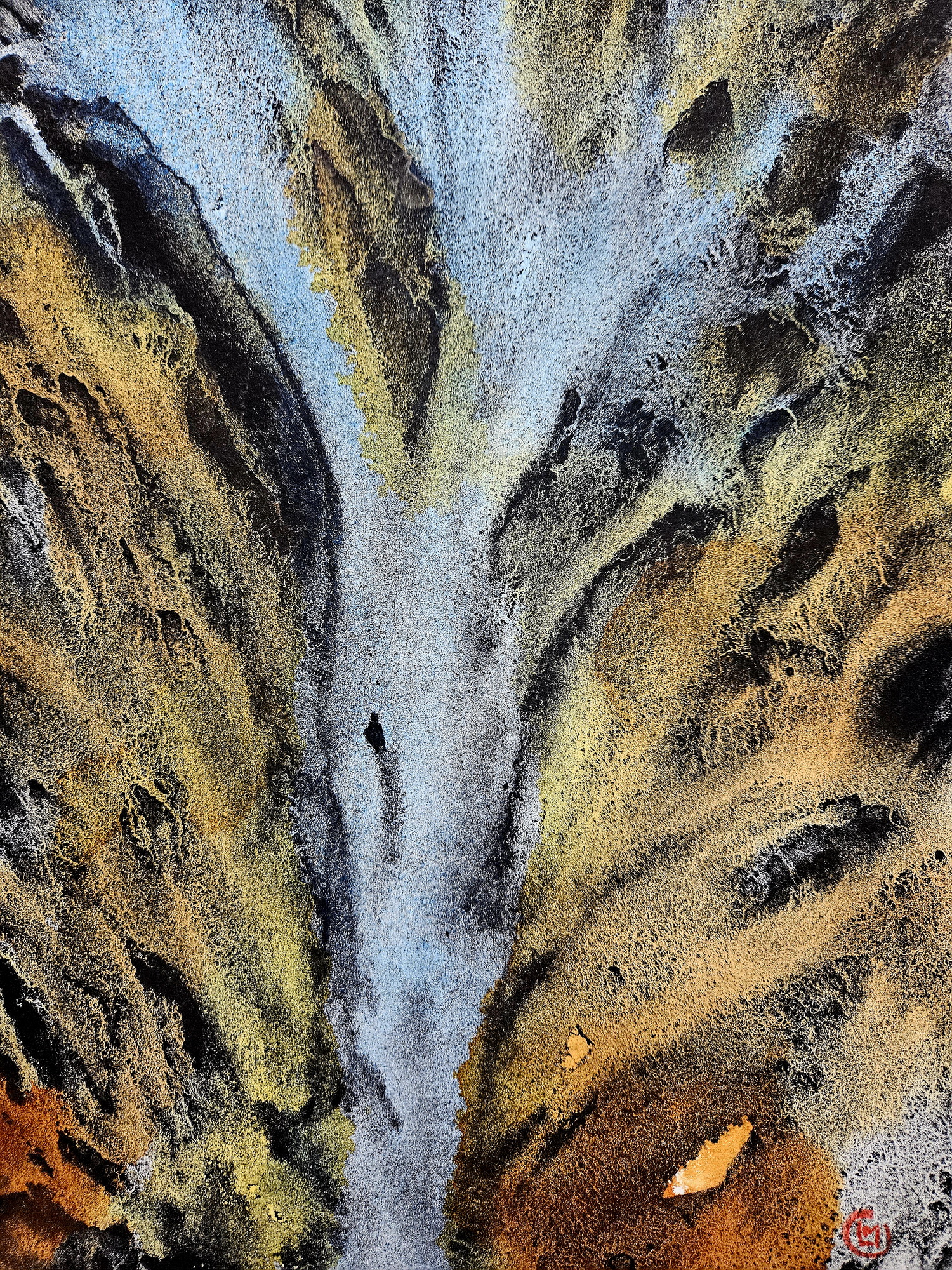
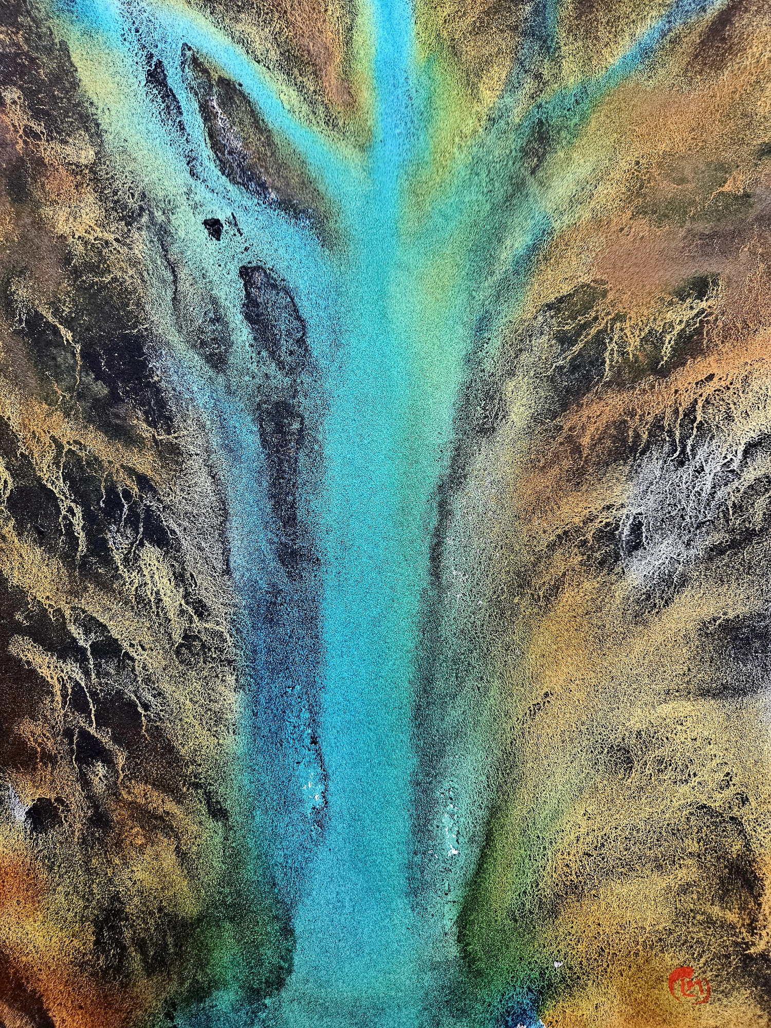
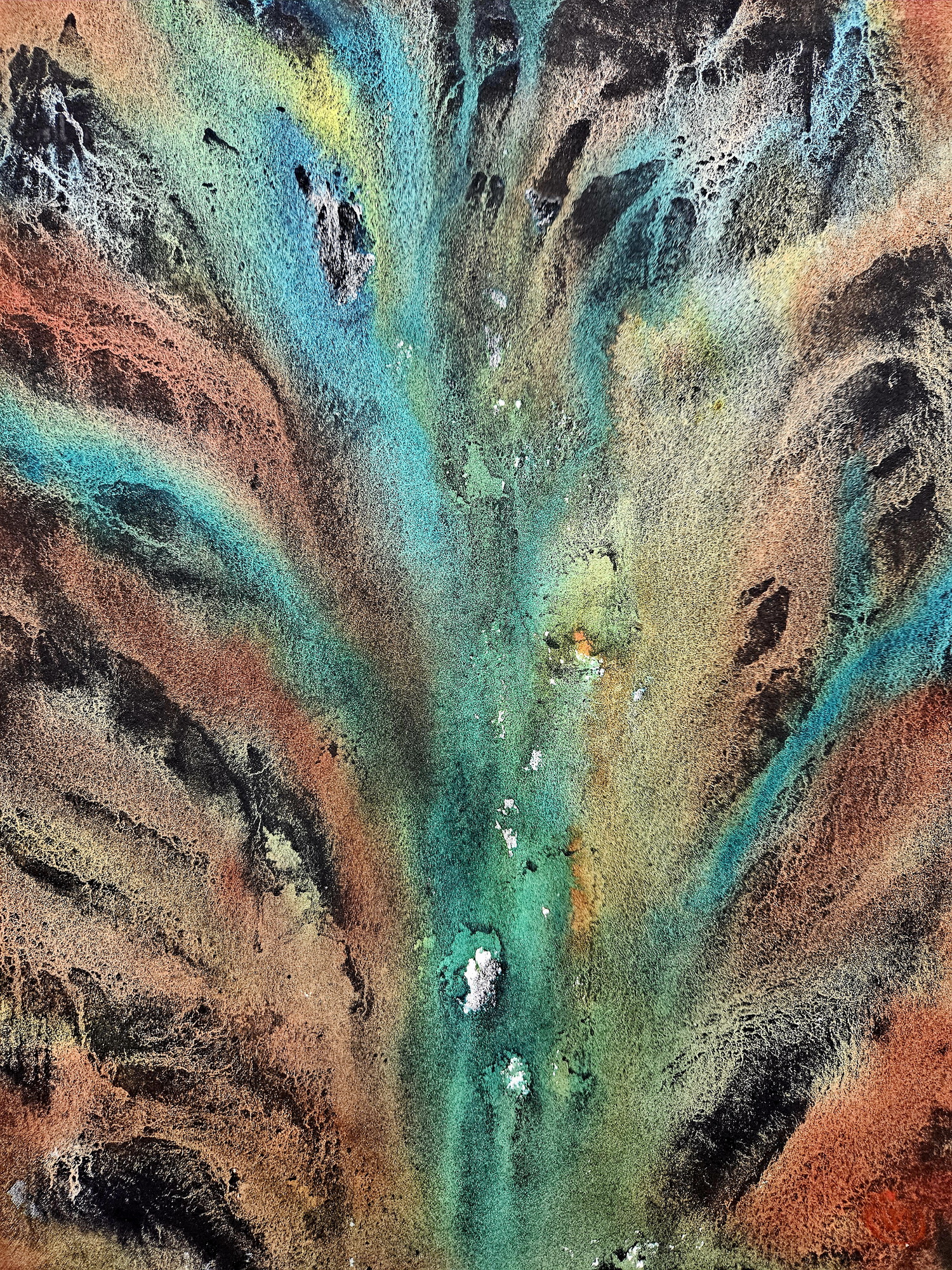
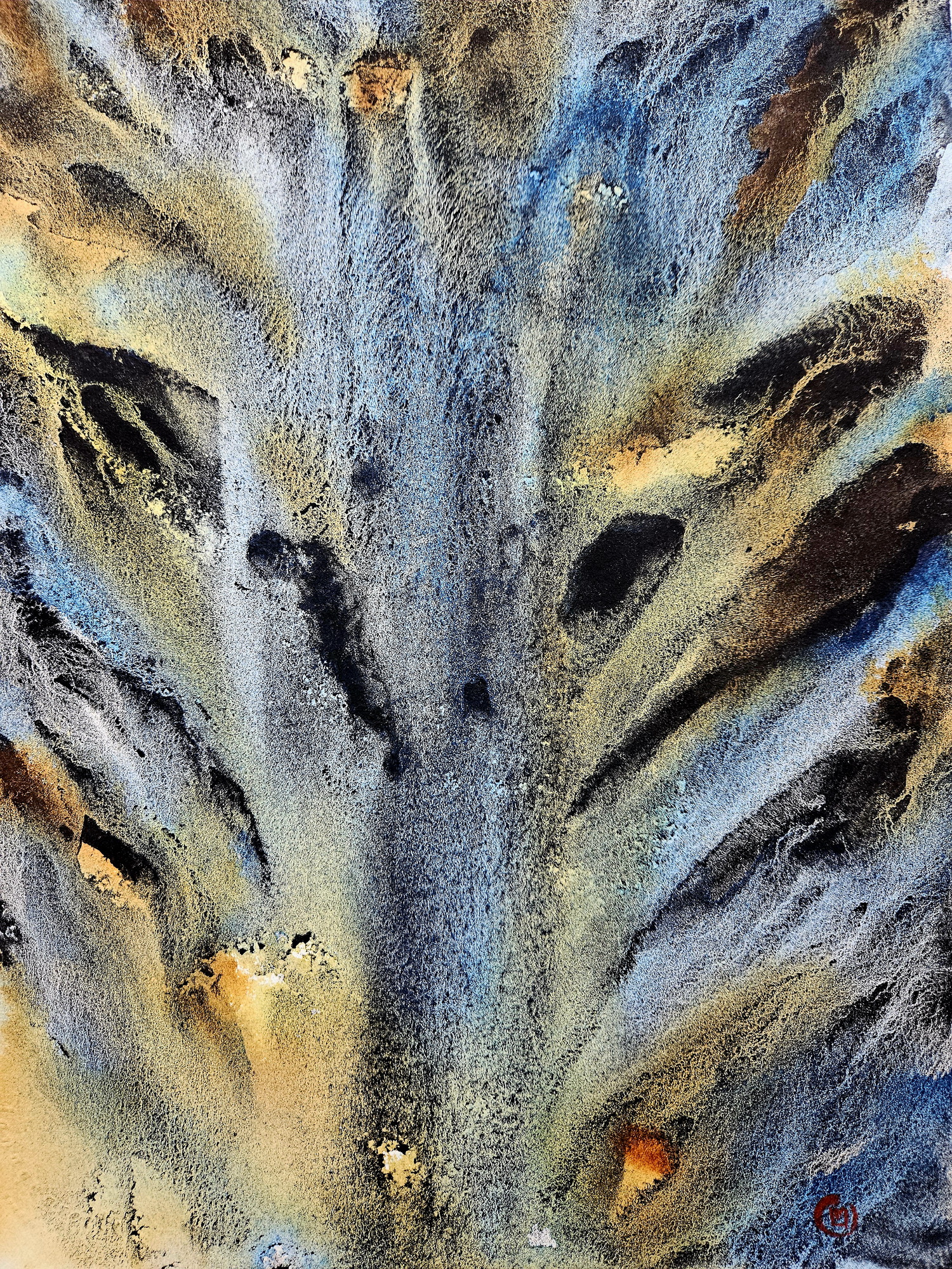
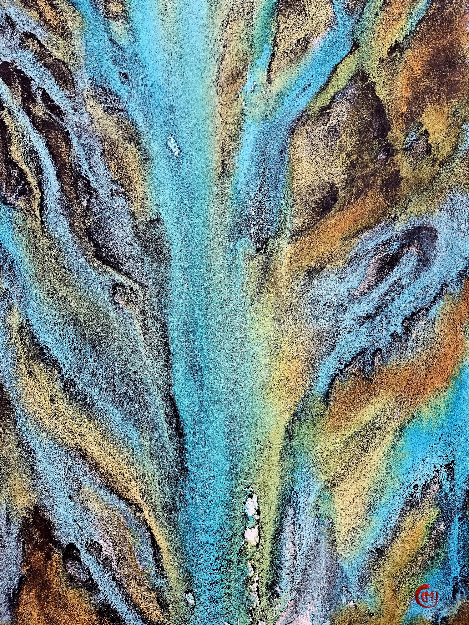
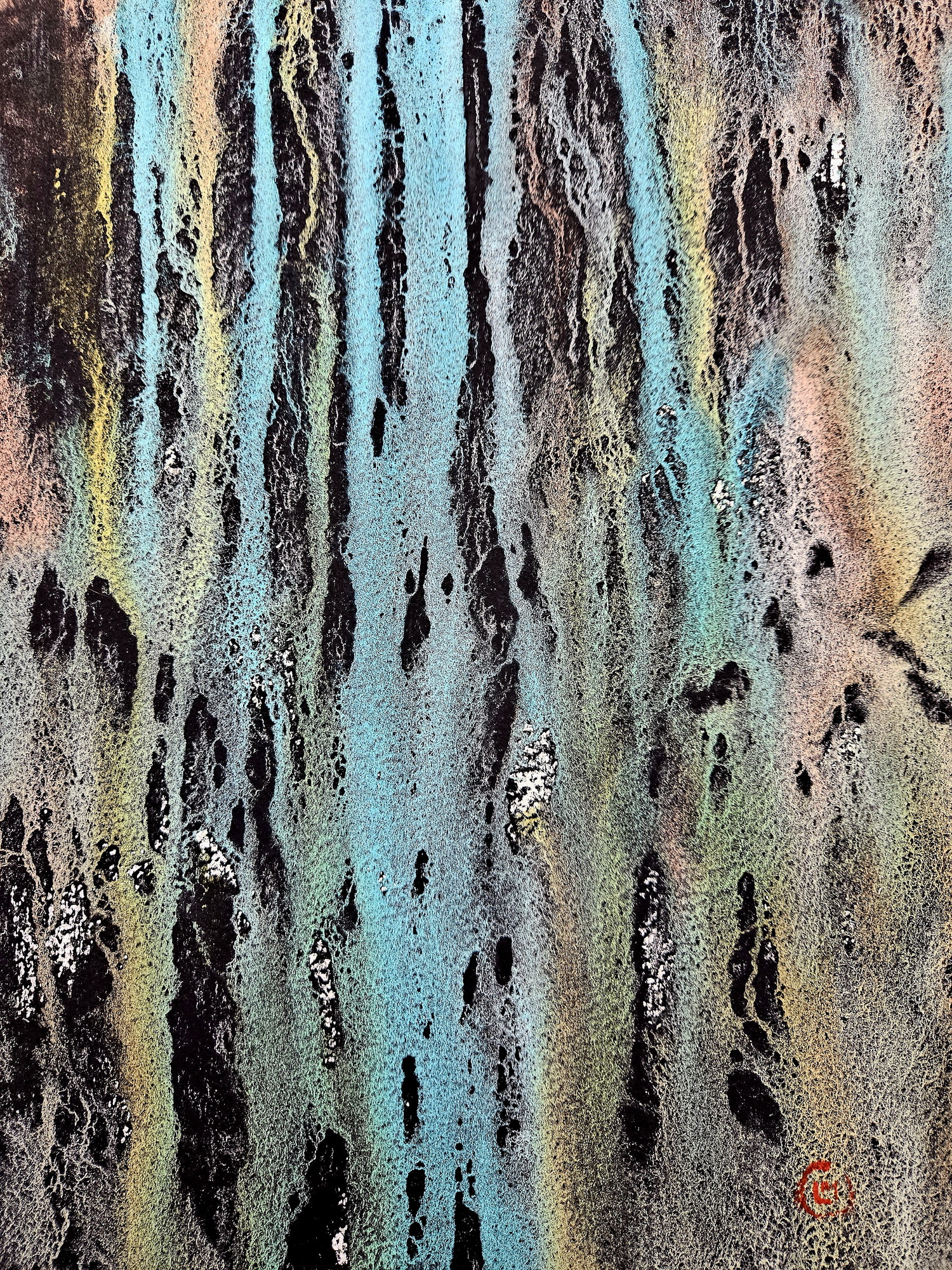
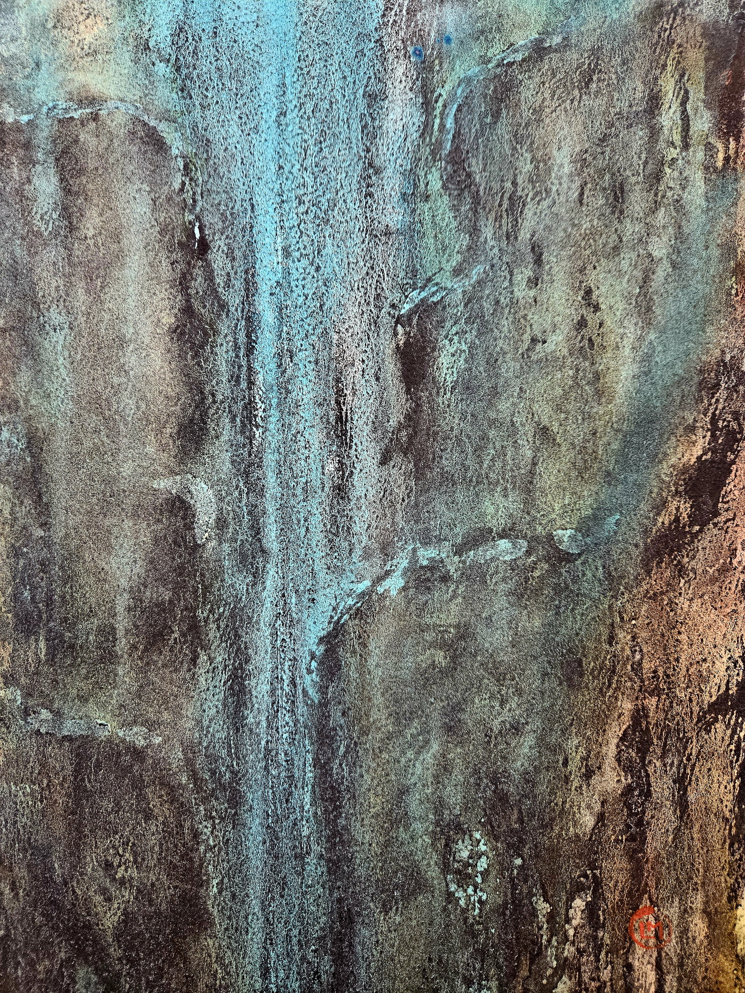
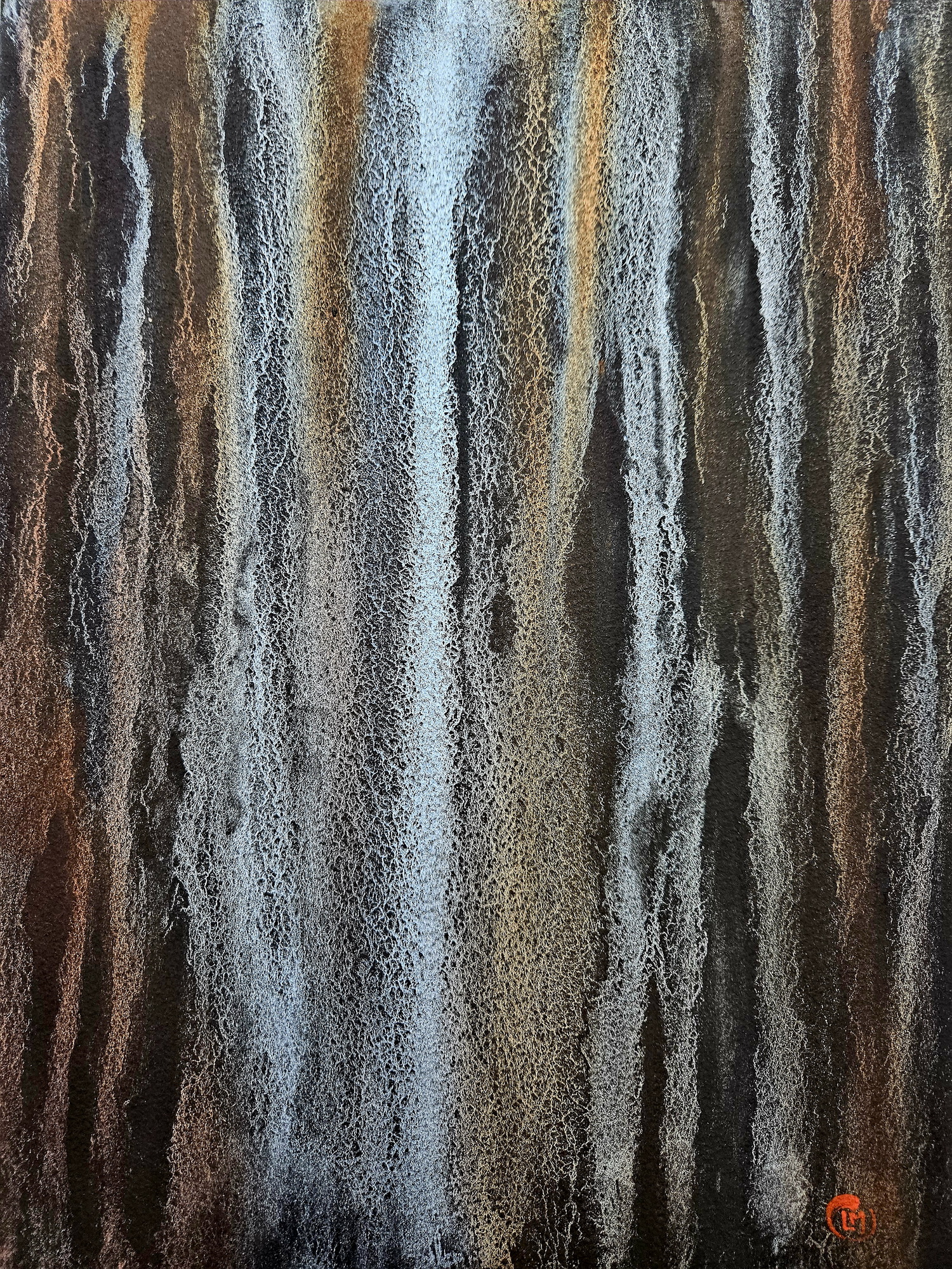
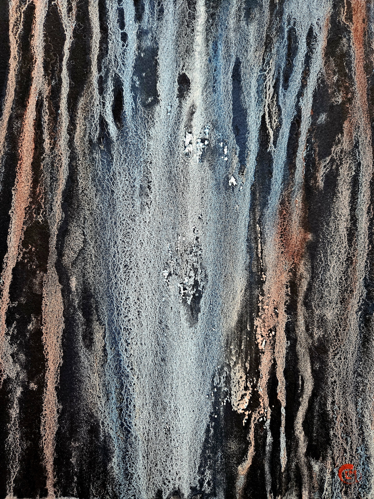
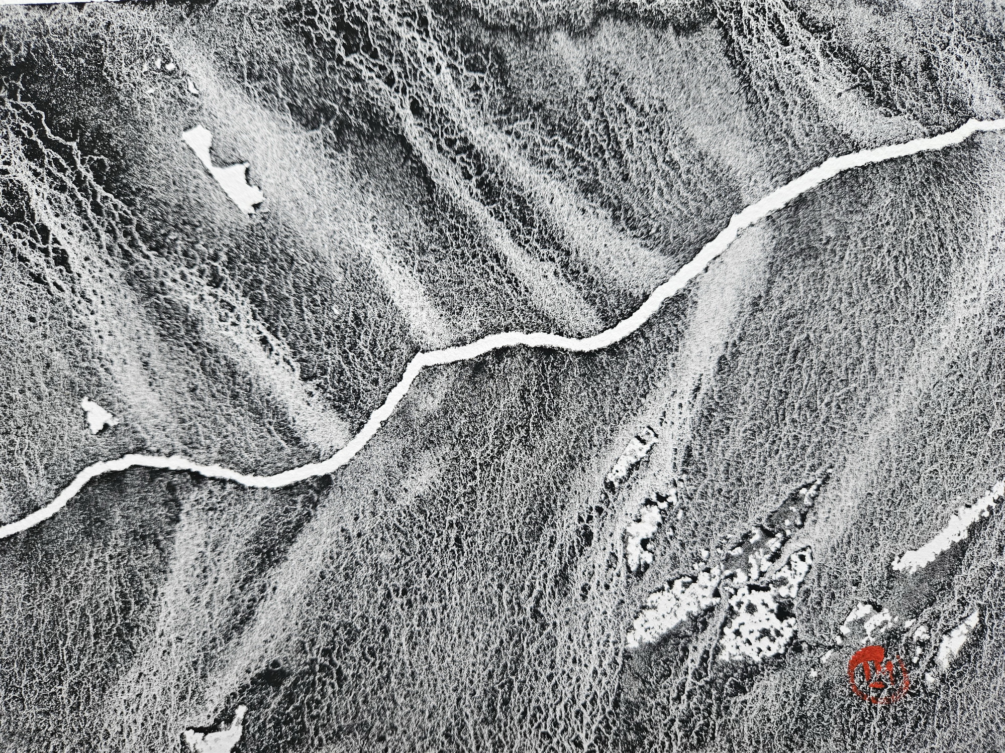
Imaginary landscapes – abstract painting
The paintings can be seen as imaginary landscapes or as map details. In satellite images we can see areas of the earth affected by floods, melting glaciers or drought, deforestation and desertification, arid areas or others devastated by tornadoes. All these are obvious signs of the effects of global warming and climate change in recent times.
We can also imagine various aspects of landforms and landform evolution typical of geomorphology.
These abstract paintings are a continuation of the “Imaginary Maps” project.
Update
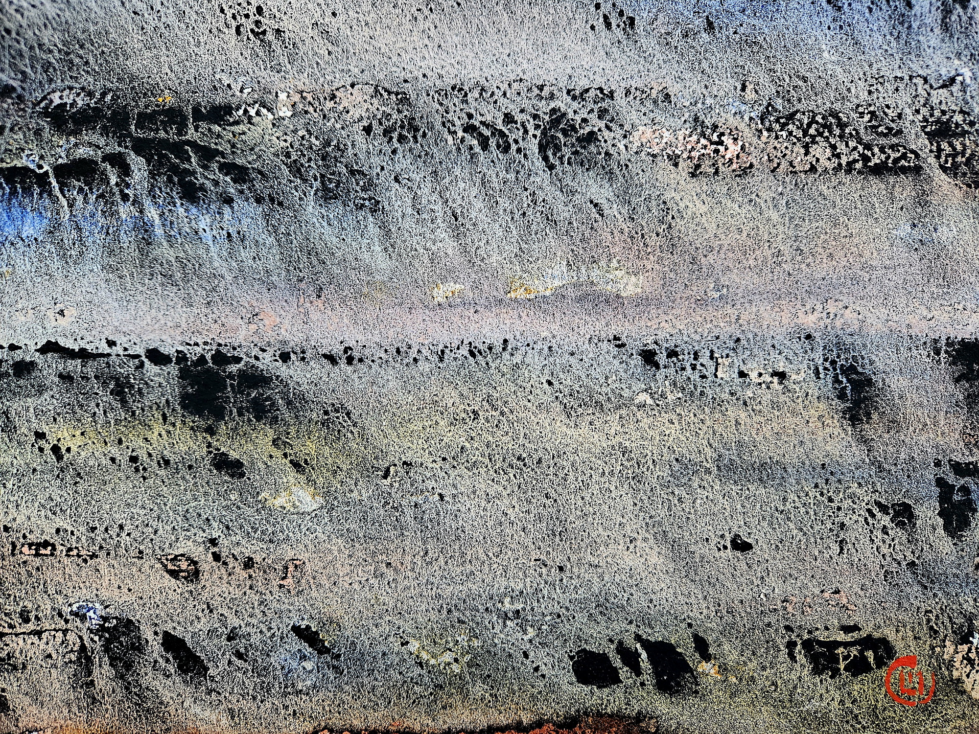
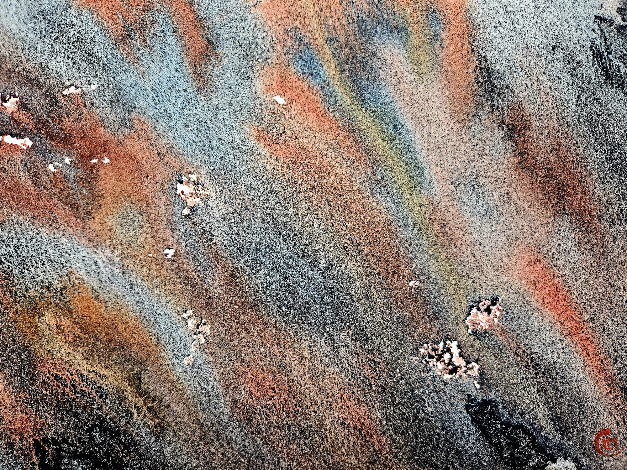
Strait of Hormuz – one of the hottest spots on Earth
The map of the Middle East is getting more and more wrinkled, especially in the Strait of Hormuz during the Iran War.
Tecnique: Watercolor, liquid bitumen on Lanaquarelle paper 300g/m, 28×38 cm, 2026.
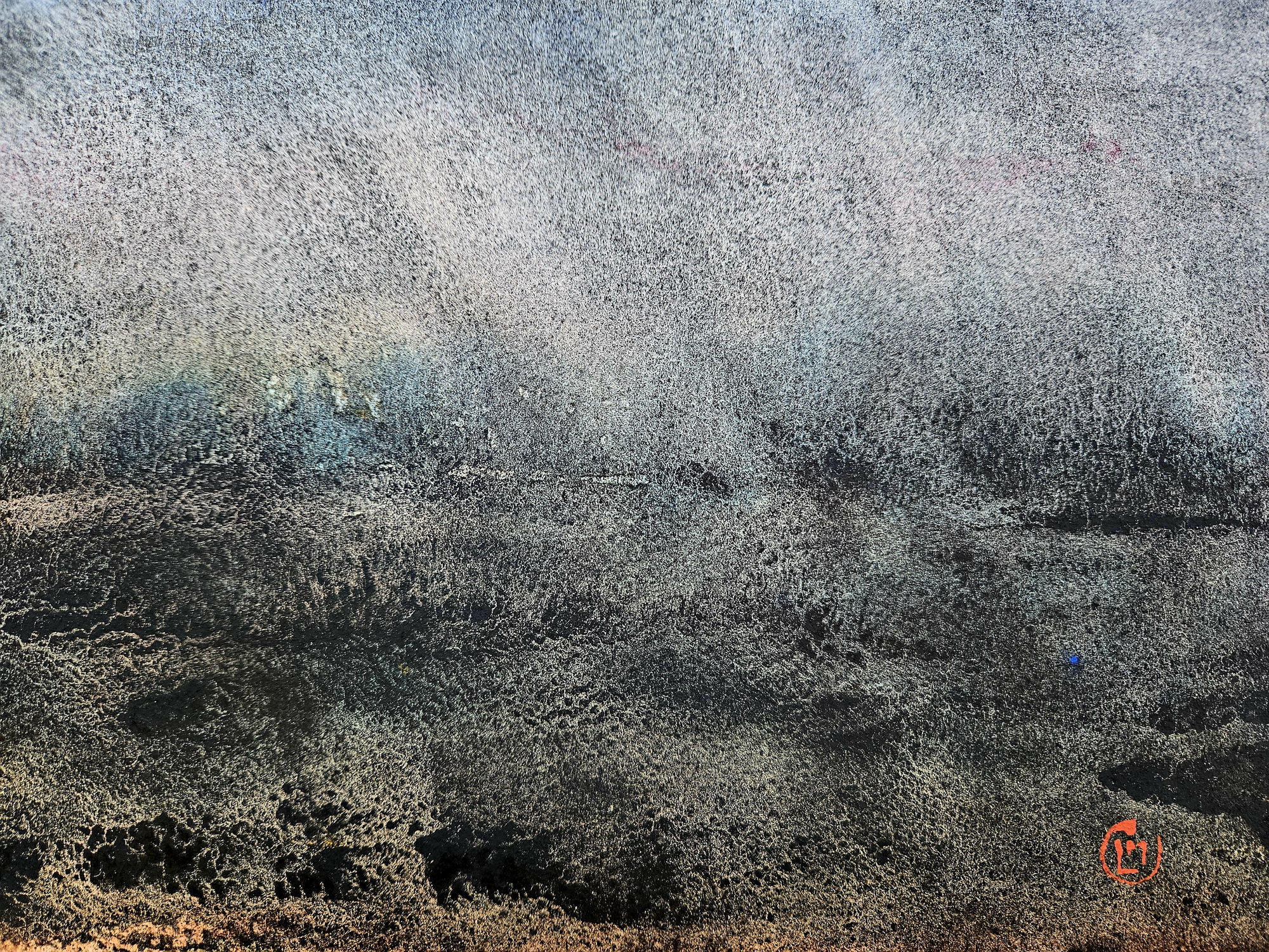
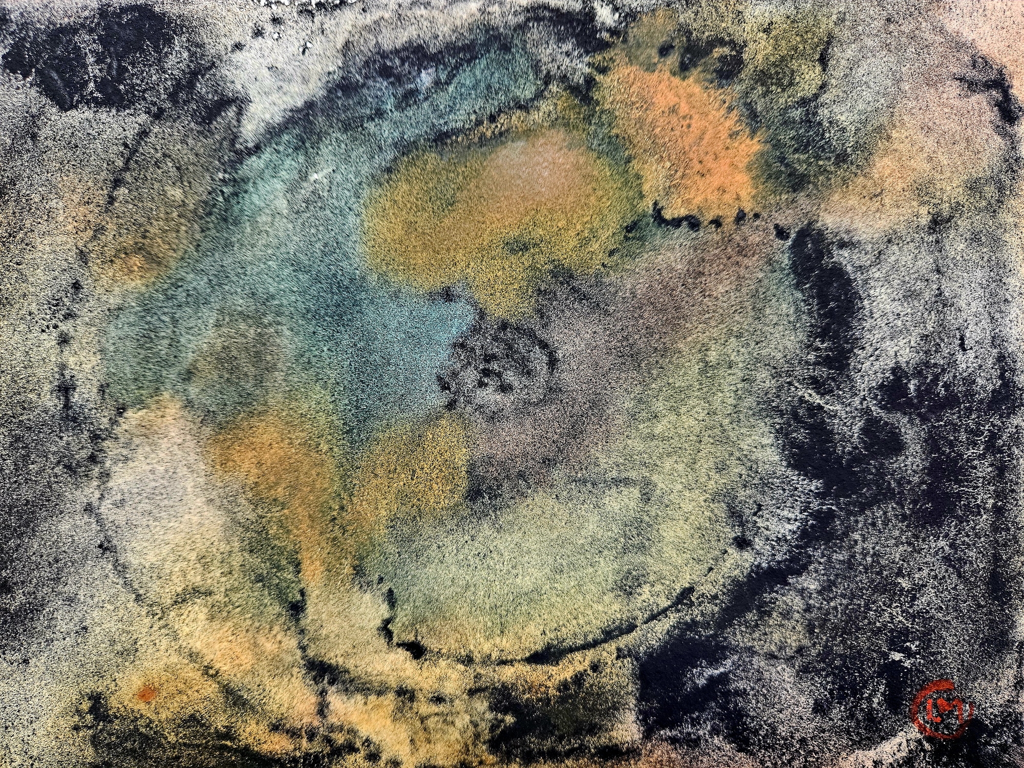
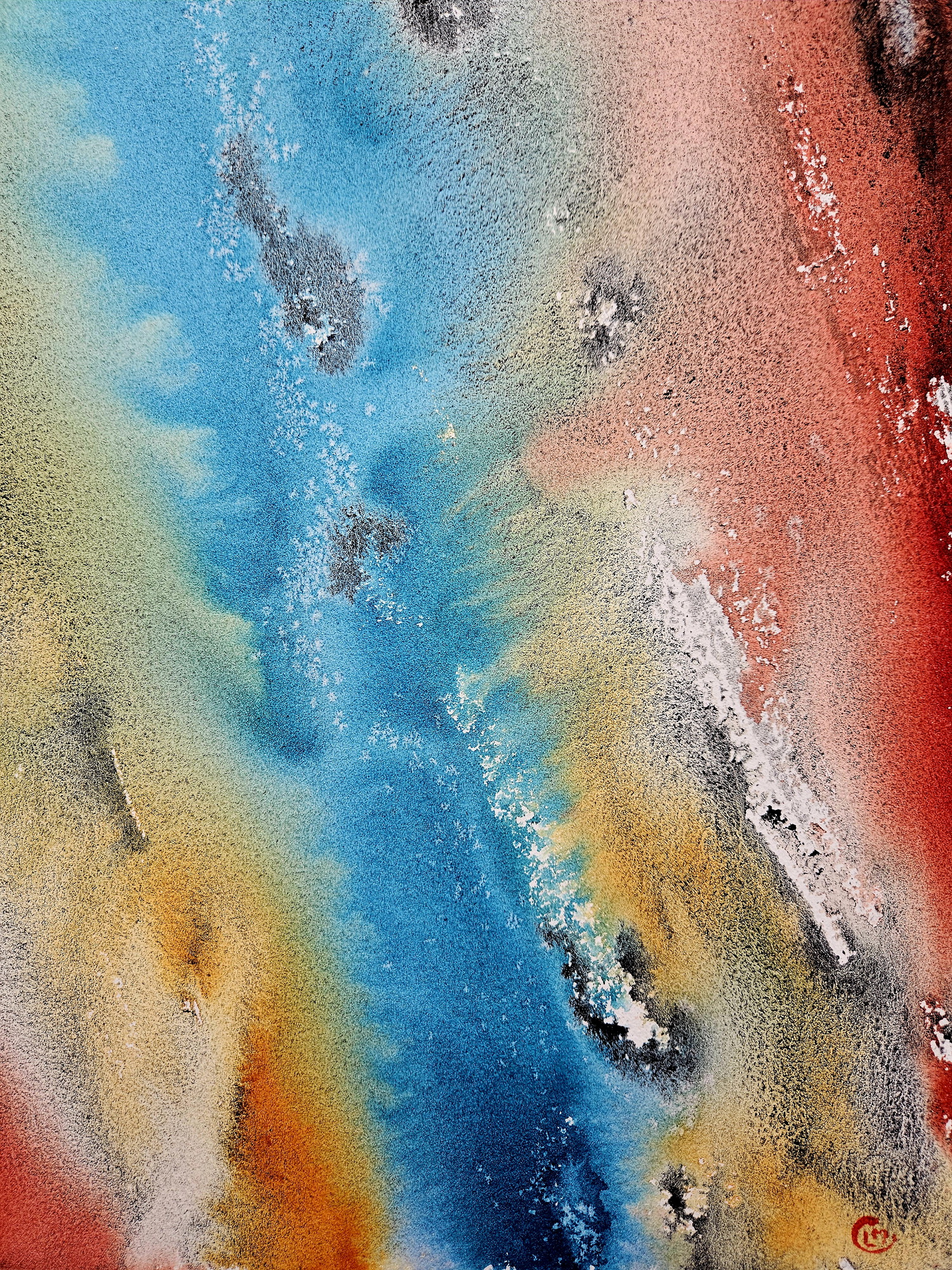
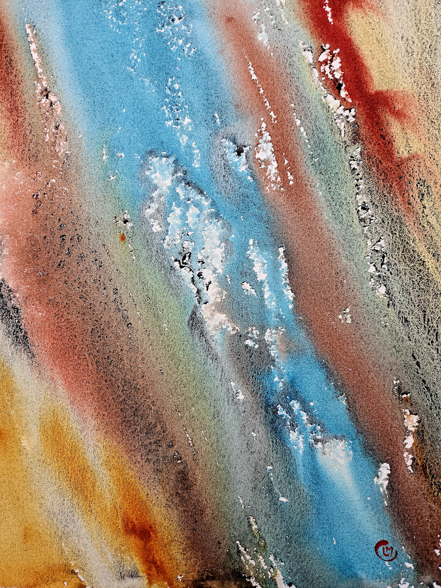
Floods and erosion
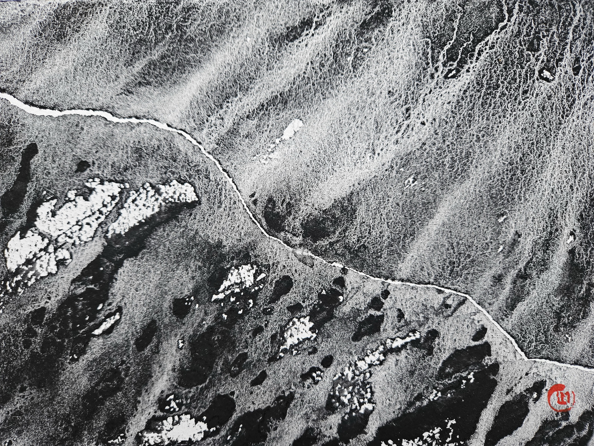
Tecnique: Granulating watercolor pigments and Lunar Black pigment Daniel Smith watercolor on Lanaquarelle paper, sizes: 56×76 cm, 28×38 cm, 19×28 cm, 2022-2023.
***
***
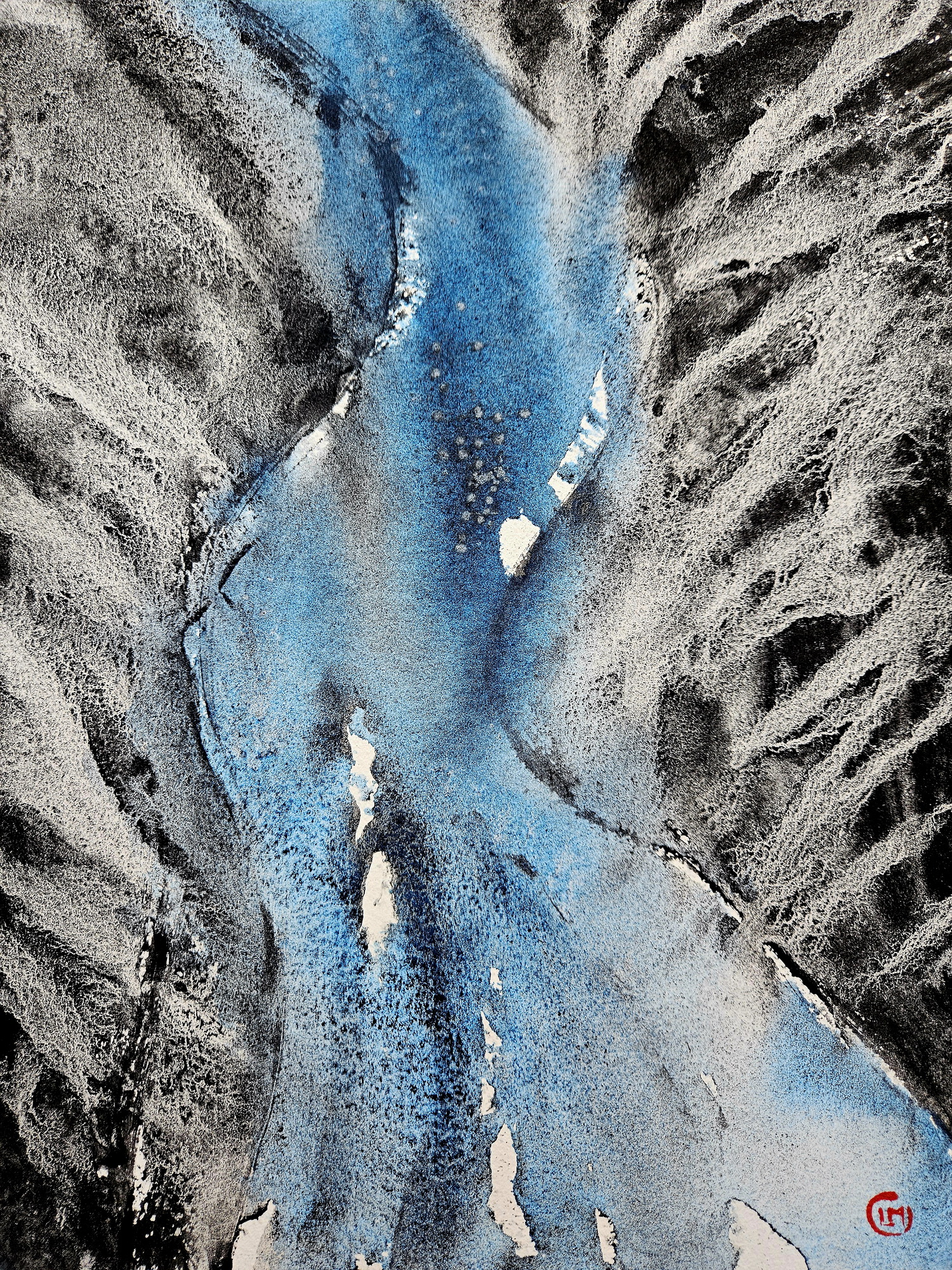
Melting glaciers, glacial valleys, waterfalls and streams
***
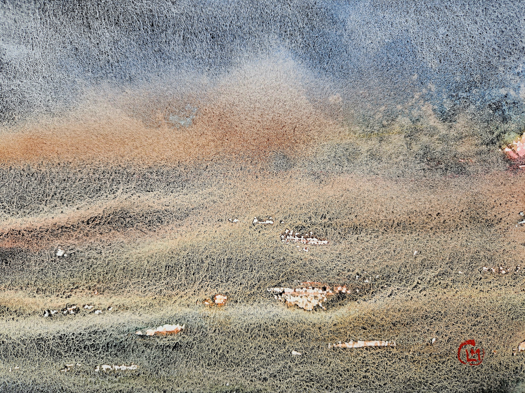
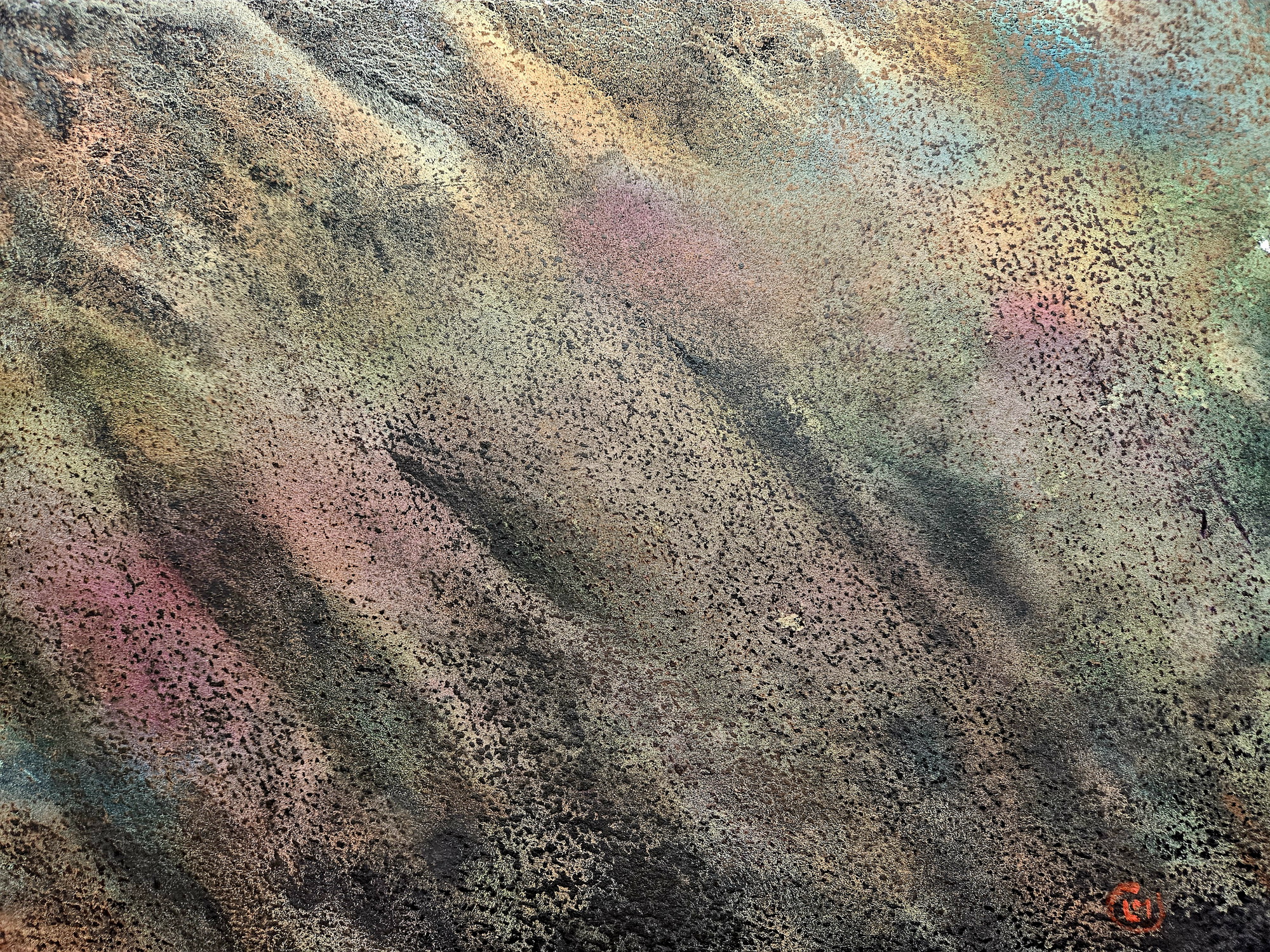
Arid areas